Thanout Lake Topo Map Online
Download Free Topo Map Sheet 064N06 at 1:50,000 scale
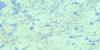
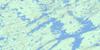
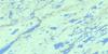
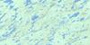
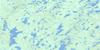
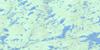
064N06 Thanout Lake Topo Map
To view this map, mouse over the map preview on the right.
You can also download this topo map for free:
064N06 Thanout Lake high-resolution topo map image.
Maps for the Thanout Lake topo map sheet 064N06 at 1:50,000 scale are also available in these versions:
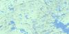
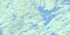
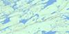
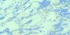
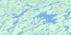
Thanout Lake Surrounding Area Topo Maps
 |
 |
 |
 |
 |
 |
 |
 |
 |
 |
 |
 |
 |
 |
 |
 |
© Department of Natural Resources Canada. All rights reserved.
Thanout Lake Gazetteer
The following places can be found on topographic map sheet 064N06 Thanout Lake:
Thanout Lake Topo Map: Bays
Southeast ArmThanout Lake Topo Map: Capes
Morrison PointPorter Point
Thanout Lake Topo Map: Falls
Kasmere FallsThanout Lake Topo Map: Islands
Henry IslandThanout Lake Topo Map: Lakes
Affleck LakeAgerbak Lake
Ashbery Lake
Beaulieu Lake
Burch Lake
Butcher Lake
Catte Lake
Choquette Lake
Dewart Lake
Forster Lake
Fort Hall Lake
Gair Lake
Harms Lake
Henry Lake
Hillhouse Lake
Kasmere Lake
MacFarlane Lake
Moorby Lake
Penn Lake
Thanout Lake
Warun Lake
Thanout Lake Topo Map: Mountains
Gunn HillThanout Lake Topo Map: Rapids
Cameron RapidsThanout Lake Topo Map: Rivers
Bartko CreekThlewiaza River
Thanout Lake Topo Map: Unincorporated areas
Fort Hall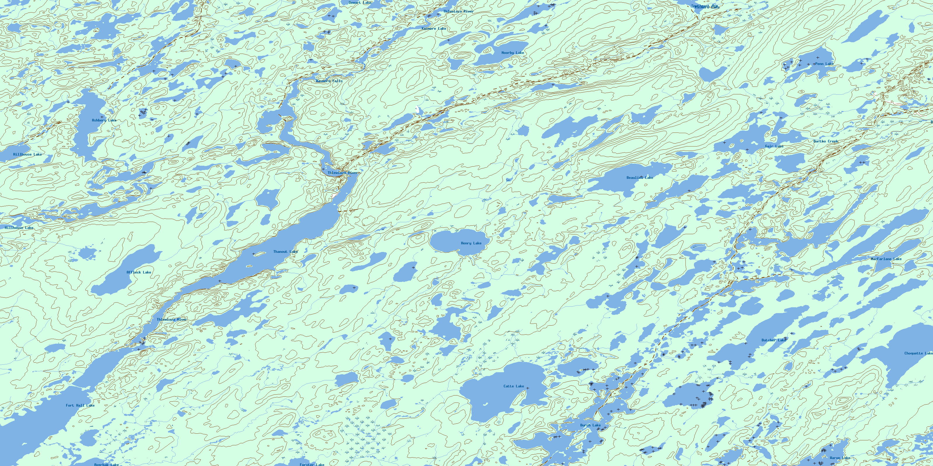
© Department of Natural Resources Canada. All rights reserved.
064N Related Maps:
064N Kasmere Lake064N01 Minuhik Lake
064N02 Whitmore Lake
064N03 Colbeck Lake
064N04 Erickson Lake
064N05 Snyder Lake
064N06 Thanout Lake
064N07 Hugill Creek
064N08 Finner Lake
064N09 Turner Lake
064N10 Sucker Lake
064N11 Kasmere Lake
064N12 Wolk Lake
064N13 Veal Lake
064N14 Tice Lake
064N15 Putahow Lake
064N16 Bagg Lake
