Medicine Hat Topo Map Online
Download Free Topo Map Sheet 072L02 at 1:50,000 scale
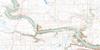
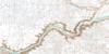
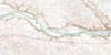
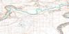
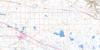
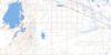
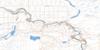
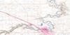
072L02 Medicine Hat Topo Map
To view this map, mouse over the map preview on the right.
You can also download this topo map for free:
072L02 Medicine Hat high-resolution topo map image.
Maps for the Medicine Hat topo map sheet 072L02 at 1:50,000 scale are also available in these versions:
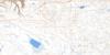
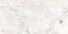
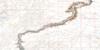
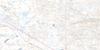
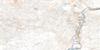
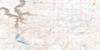
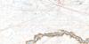
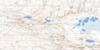
Medicine Hat Surrounding Area Topo Maps
 |
 |
 |
 |
 |
 |
 |
 |
 |
 |
 |
 |
 |
 |
 |
 |
© Department of Natural Resources Canada. All rights reserved.
Medicine Hat Gazetteer
The following places can be found on topographic map sheet 072L02 Medicine Hat:
Medicine Hat Topo Map: Capes
Police PointMedicine Hat Topo Map: City
Medicine HatMedicine Hat Topo Map: Islands
Galt IslandMedicine Hat Topo Map: Lakes
Finns LakeOld Channel Lake
Medicine Hat Topo Map: Military areas
Champ de manoeuvre SuffieldSuffield Training Area
Medicine Hat Topo Map: Mountains
Porter's HillScholten Hill
Medicine Hat Topo Map: Major municipal/district area - major agglomerations
County of Forty Mile No. 8Municipal District of Cypress
Municipal District of Cypress No. 1
Medicine Hat Topo Map: Plains
Brush FlatsMedicine Hat Topo Map: Rivers
Bullshead CreekMitchell Creek
Rivière Saskatchewan Sud
Ross Creek
Seven Persons Creek
Sevenpersons Creek
Sevenpersons River
South Saskatchewan River
Medicine Hat Topo Map: Towns
RedcliffMedicine Hat Topo Map: Unincorporated areas
BowellBrier Industrial Estates
Burnside
Burnside Heights
Connaught
Cousins
Crestwood
Harlow
Kensington
Marlborough
Meadowlands
NE Crescent Heights
North Flats
Norwood
NW Crescent Heights
Ranchlands
River Heights
Riverside
Ross Glen
SE Hill
South Flats
South Ridge
Southlands
Southview
Stair
SW Hill
Tower Estates
Medicine Hat Topo Map: Valleys
Ross Coulee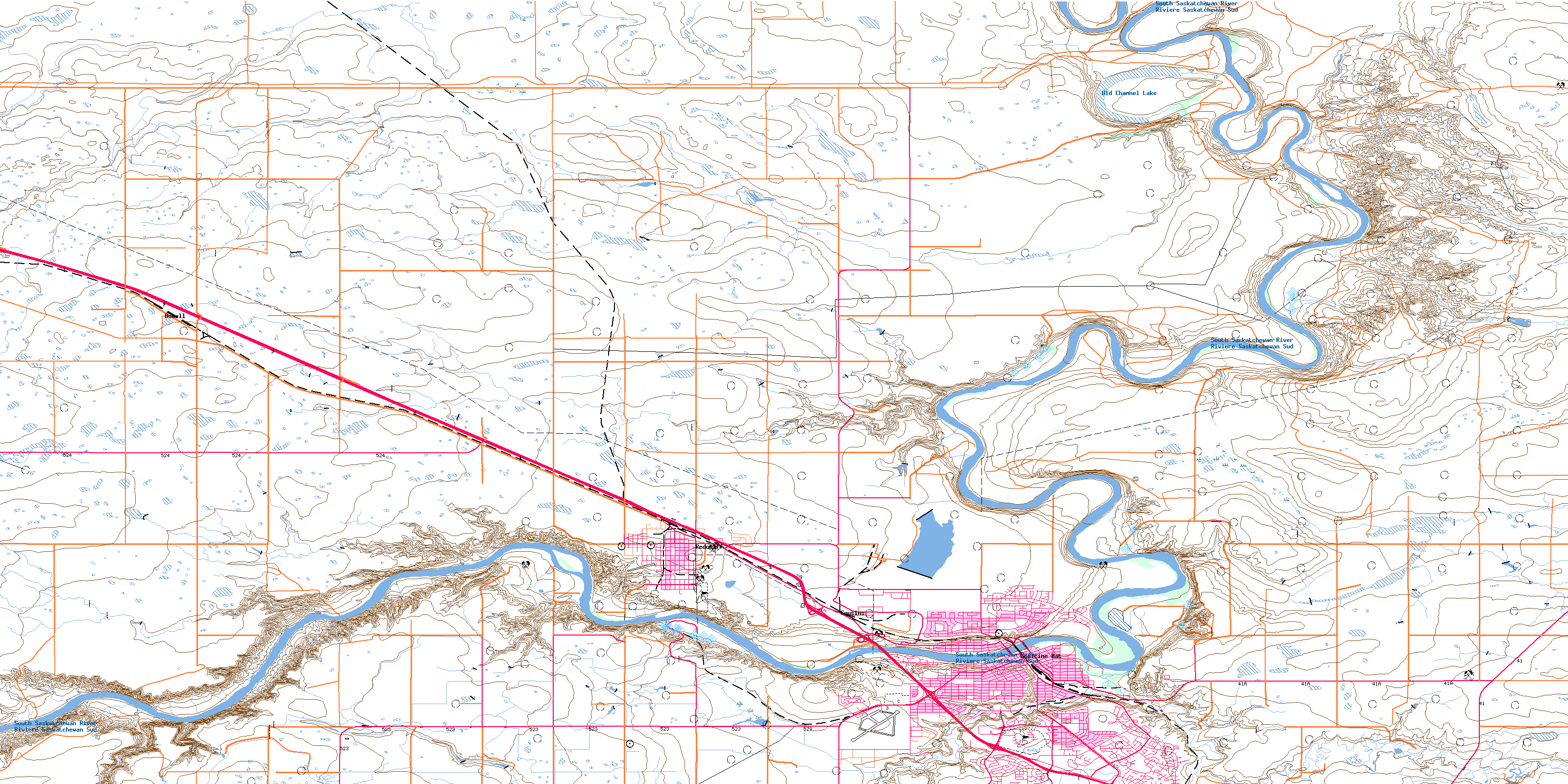
© Department of Natural Resources Canada. All rights reserved.
