Hughenden Topo Map Online
Download Free Topo Map Sheet 073D10 at 1:50,000 scale
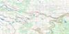
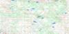
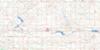
073D10 Hughenden Topo Map
To view this map, mouse over the map preview on the right.
You can also download this topo map for free:
073D10 Hughenden high-resolution topo map image.
Maps for the Hughenden topo map sheet 073D10 at 1:50,000 scale are also available in these versions:
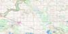
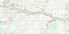
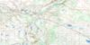
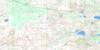
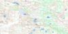
Hughenden Surrounding Area Topo Maps
 |
 |
 |
 |
 |
 |
 |
 |
 |
 |
 |
 |
 |
 |
 |
 |
© Department of Natural Resources Canada. All rights reserved.
Hughenden Gazetteer
The following places can be found on topographic map sheet 073D10 Hughenden:
Hughenden Topo Map: Lakes
Arm LakeBorder Lake
Cattalo Lake
Cotton Lake
David Lake
Dixon Lake
Elk Butte Lake
Gat Lake
Hughenden Lake
Jamieson Lake
McCafferty Lake
Normandin Lake
Peterson Lake
Rough Lake
Slow Lake
Swift Lake
Tit Willow Lake
Wallaby Lake
Williamson Lake
Willow Lake
Yak Lake
Yak Lakes
Hughenden Topo Map: Military areas
Champ de manoeuvre régional WainwrightWainwright Regional Training Area
Hughenden Topo Map: Mountains
Elk ButteGunner Hill
Highland Heights
Infantry Hill
Little Elk Buttes
Observation Hill
Patricia Hill
Rifle Ridge
Signal Hill
Hughenden Topo Map: Major municipal/district area - major agglomerations
Municipal District of Provost No. 52Municipal District of Wainwright No. 61
Hughenden Topo Map: Rivers
Ribstone CreekHughenden Topo Map: Road features
Cattalo BridgeCattalo Trail
Half-Breed Ford
Strathcona Trail
Hughenden Topo Map: Unincorporated areas
Buffalo ViewPark Farm
Hughenden Topo Map: Low vegetation
Hay MarshHughenden Topo Map: Villages
Hughenden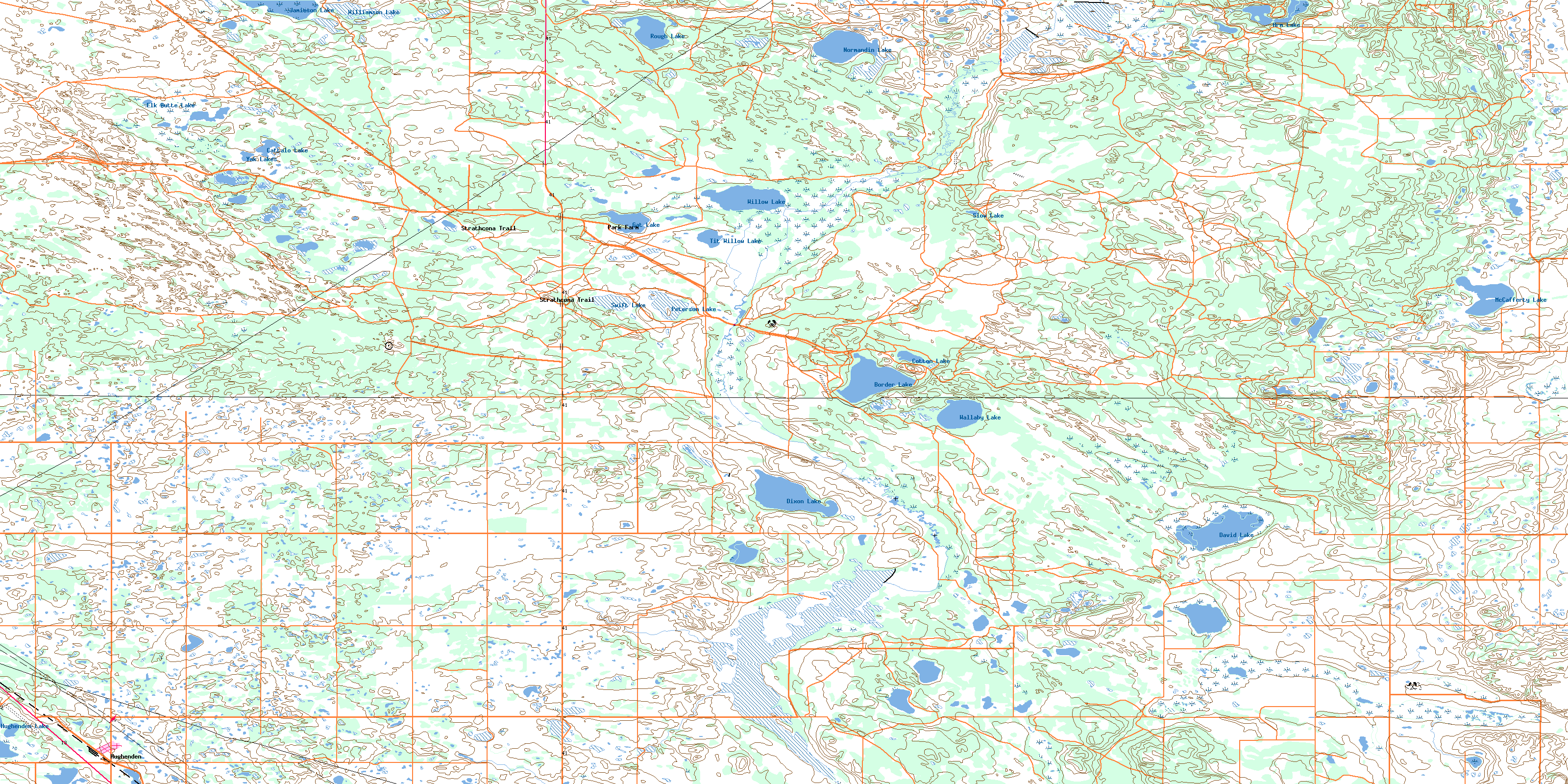
© Department of Natural Resources Canada. All rights reserved.
