Wainwright Topo Map Online
Download Free Topo Map Sheet 073D15 at 1:50,000 scale
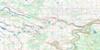
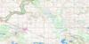
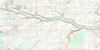
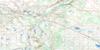
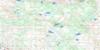
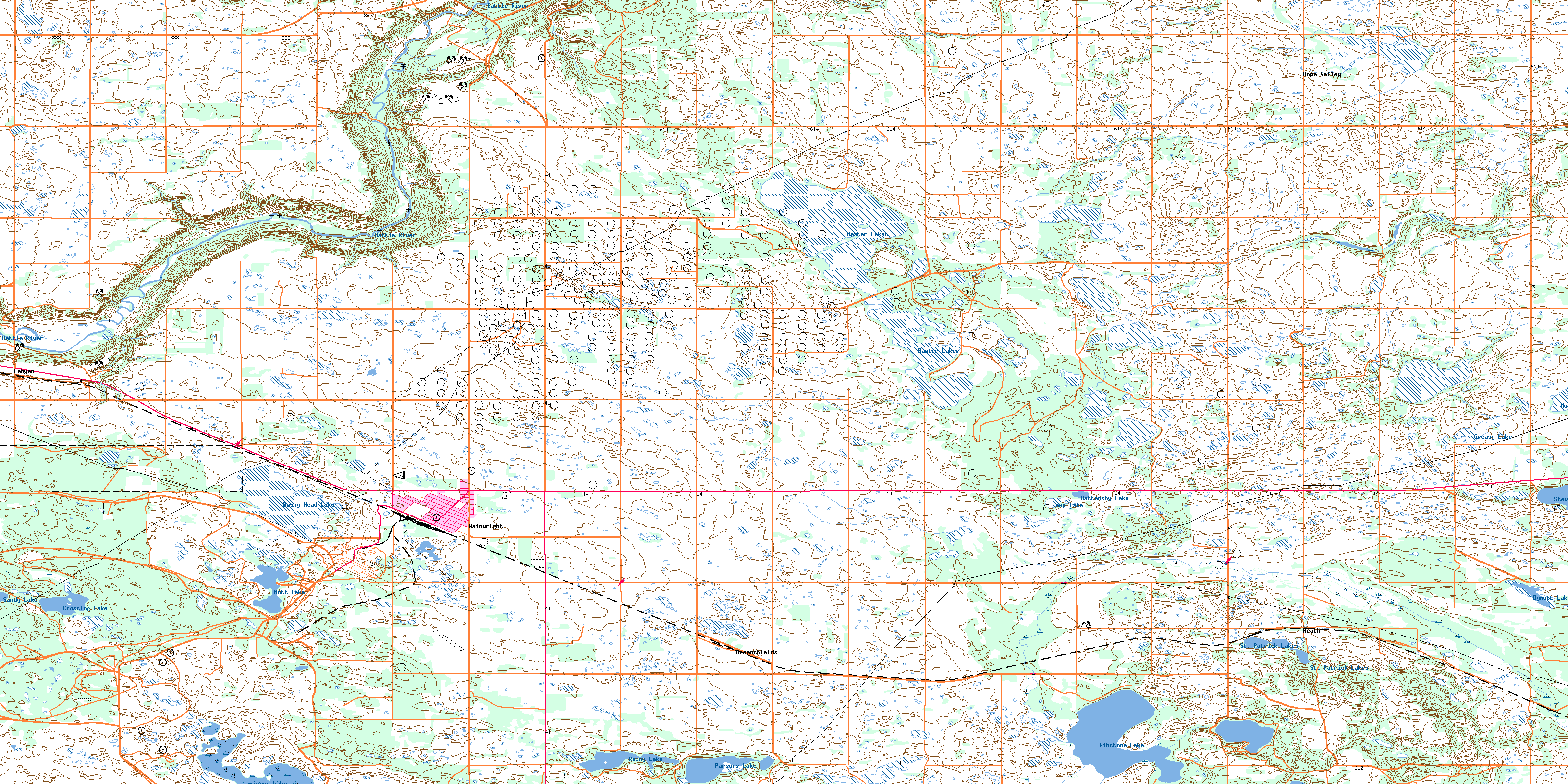
073D15 Wainwright Topo Map
To view this map, mouse over the map preview on the right.
You can also download this topo map for free:
073D15 Wainwright high-resolution topo map image.
Maps for the Wainwright topo map sheet 073D15 at 1:50,000 scale are also available in these versions:
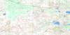
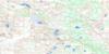
Wainwright Surrounding Area Topo Maps
 |
 |
 |
 |
 |
 |
 |
 |
 |
 |
 |
 |
 |
 |
 |
 |
© Department of Natural Resources Canada. All rights reserved.
Wainwright Gazetteer
The following places can be found on topographic map sheet 073D15 Wainwright:
Wainwright Topo Map: Lakes
Arm LakeBarnes Lake
Battensby Lake
Baxter Lakes
Bushy Head Lake
Clear Lake
Crossing Lake
Dymott Lake
Greasy Lake
Jamieson Lake
Lemp Lake
Mott Lake
Mushroom Lake
Parsons Lake
Peterson Pond
Rainy Lake
Ribstone Lake
Sandy Lake
St. Patrick Lakes
Stevenson Lake
Wainwright Topo Map: Military areas
Champ de manoeuvre régional WainwrightWainwright Regional Training Area
Wainwright Topo Map: Mountains
Badger HillPOW Hill
Wainwright Topo Map: Major municipal/district area - major agglomerations
Municipal District of Wainwright No. 61Wainwright Topo Map: Rivers
Battle RiverRibstone Creek
Wainwright Topo Map: Road features
Cattalo TrailHardisty Trail
Wainwright Topo Map: Towns
WainwrightWainwright Topo Map: Unincorporated areas
DenwoodFabyan
Gilt Edge
Greenshields
Heath
Hope Valley
© Department of Natural Resources Canada. All rights reserved.
