Canoe Lake Topo Map Online
Download Free Topo Map Sheet 073N01 at 1:50,000 scale
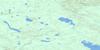
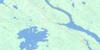
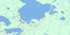
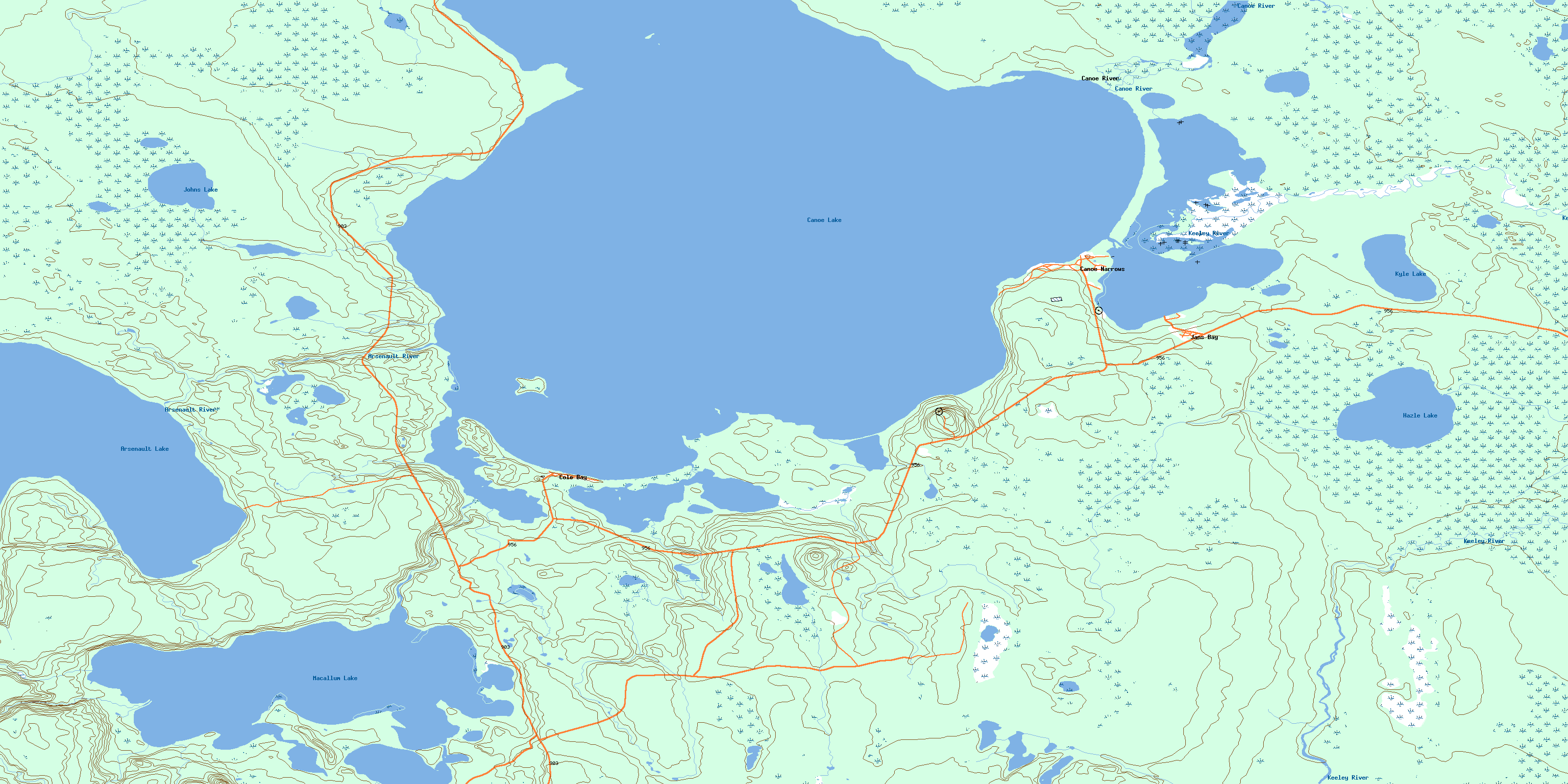
073N01 Canoe Lake Topo Map
To view this map, mouse over the map preview on the right.
You can also download this topo map for free:
073N01 Canoe Lake high-resolution topo map image.
Maps for the Canoe Lake topo map sheet 073N01 at 1:50,000 scale are also available in these versions:
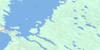
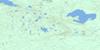
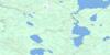
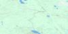
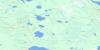
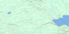
Canoe Lake Surrounding Area Topo Maps
 |
 |
 |
 |
 |
 |
 |
 |
 |
 |
 |
 |
 |
 |
 |
 |
© Department of Natural Resources Canada. All rights reserved.
Canoe Lake Gazetteer
The following places can be found on topographic map sheet 073N01 Canoe Lake:
Canoe Lake Topo Map: Bays
Anderson BayBennett Bay
Booth Bay
Cole Bay
Jans Bay
Wepooskow Bay
Canoe Lake Topo Map: Capes
Maria PointPerch Point
Canoe Lake Topo Map: Channels
Wepooskow NarrowsCanoe Lake Topo Map: Indian Reserves
Canoe Lake 165Canoe Lake 165A
Canoe Lake 165B
Onikahp Sahghikansis 165E
Canoe Lake Topo Map: Islands
Cole IslandCanoe Lake Topo Map: Lakes
Arsenault LakeCanoe Lake
Hazle Lake
Johns Lake
Kyle Lake
Macallum Lake
Canoe Lake Topo Map: Conservation areas
Canoe Lake Recreation SiteCanoe Lake Topo Map: Rivers
Arsenault RiverCanoe Creek
Canoe River
Cole Creek
Fleming Creek
Keeley River
Patrick Creek
Thompson Creek
Canoe Lake Topo Map: Unincorporated areas
Canoe LakeCanoe Narrows
Canoe River
Canoe Lake Topo Map: Villages
Cole BayJans Bay
© Department of Natural Resources Canada. All rights reserved.
073N Related Maps:
073N Buffalo Narrows073N01 Canoe Lake
073N02 Juggins Creek
073N03 Carlton Lake
073N04 Calder River
073N05 Watapi Lake
073N06 Nipin Lake
073N07 Mccusker Lake
073N08 Apps Lake
073N09 Kazan Lake
073N10 Niska Lake
073N11 Vermette Lake
073N12 Mcalister Lake
073N13 Graham Lake
073N14 Michel Village
073N15 Dillon
073N16 Buffalo Narrows
