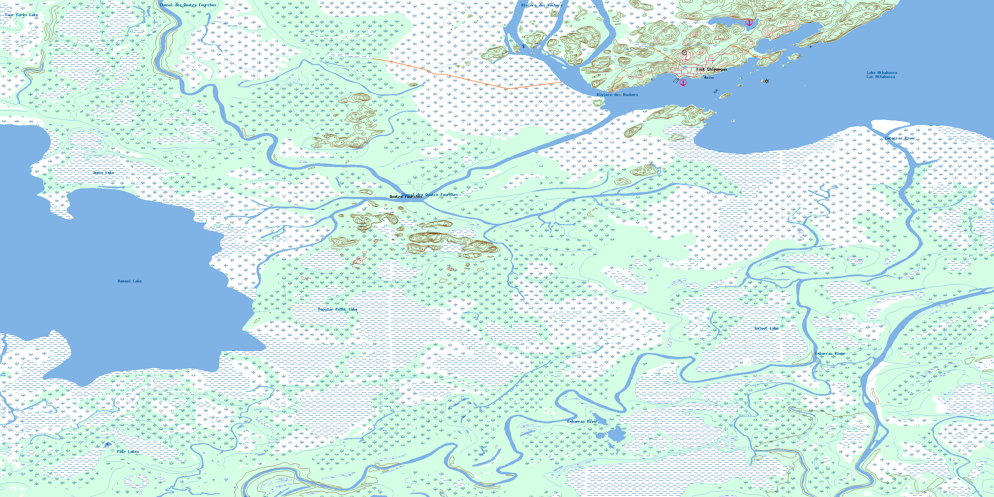
Fort Chipewyan Topo Map Online
Download Free Topo Map Sheet 074L11 at 1:50,000 scale
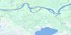
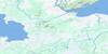
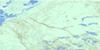
074L11 Fort Chipewyan Topo Map
To view this map, mouse over the map preview on the right.
You can also download this topo map for free:
074L11 Fort Chipewyan high-resolution topo map image.
Maps for the Fort Chipewyan topo map sheet 074L11 at 1:50,000 scale are also available in these versions:
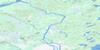
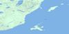
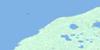
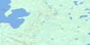
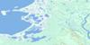
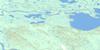
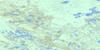
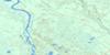
Fort Chipewyan Surrounding Area Topo Maps
 |
 |
 |
 |
 |
 |
 |
 |
 |
 |
 |
 |
 |
 |
 |
 |
© Department of Natural Resources Canada. All rights reserved.
Fort Chipewyan Gazetteer
The following places can be found on topographic map sheet 074L11 Fort Chipewyan:
Fort Chipewyan Topo Map: Bays
Fraser BayFort Chipewyan Topo Map: Capes
Dog HeadGrouse Cape
Mission Point
Peace-Athabasca Delta
Fort Chipewyan Topo Map: Channels
Chenal des Quatre FourchesFletcher Channel
Fort Chipewyan Topo Map: Indian Reserves
Dog Head 218Fort Chipewyan Topo Map: Islands
English IslandHigh Island
Lobstick Island
Mouse Island
Pine Island
Potato Island
Fort Chipewyan Topo Map: Lakes
Four Forks LakeGaloot Lake
Jemis Lake
John Bull Slough
Lac Athabasca
Lake Athabasca
Lake Athabaska
Mamawi Lake
Pair Lakes
Popular Point Lake
Fort Chipewyan Topo Map: Mountains
Grouroches ChereFort Chipewyan Topo Map: Other municipal/district area - miscellaneous
Improvement District No. 24Fort Chipewyan Topo Map: Conservation areas
Parc national du Canada Wood BuffaloWood Buffalo National Park of Canada
Fort Chipewyan Topo Map: Rivers
Athabasca RiverAthabaska River
Embarras River
Fletcher River
Horse Island Creek
Mamawi Creek
Rivière Athabasca
Rivière des Rochers
Fort Chipewyan Topo Map: Unincorporated areas
Fort ChipewyanQuatre Fourches
© Department of Natural Resources Canada. All rights reserved.
074L Related Maps:
074L Fort Chipewyan074L01 Archer Lake
074L02 Larocque Lake
074L03 Embarras
074L04 Buckton Creek
074L05 Welstead Lake
074L06 Richardson Lake
074L07 Keane Creek
074L08 Brander Lake
074L09 Old Fort Bay
074L10 Big Point
074L11 Fort Chipewyan
074L12 Hilda Lake
074L13 Baril River
074L14 Riviere Des Rochers
074L15 Bustard Island
074L16 Stone Point
