Inverted Ridge Topo Map Online
Download Free Topo Map Sheet 082G02 at 1:50,000 scale
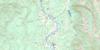
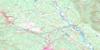
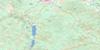
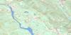
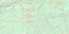
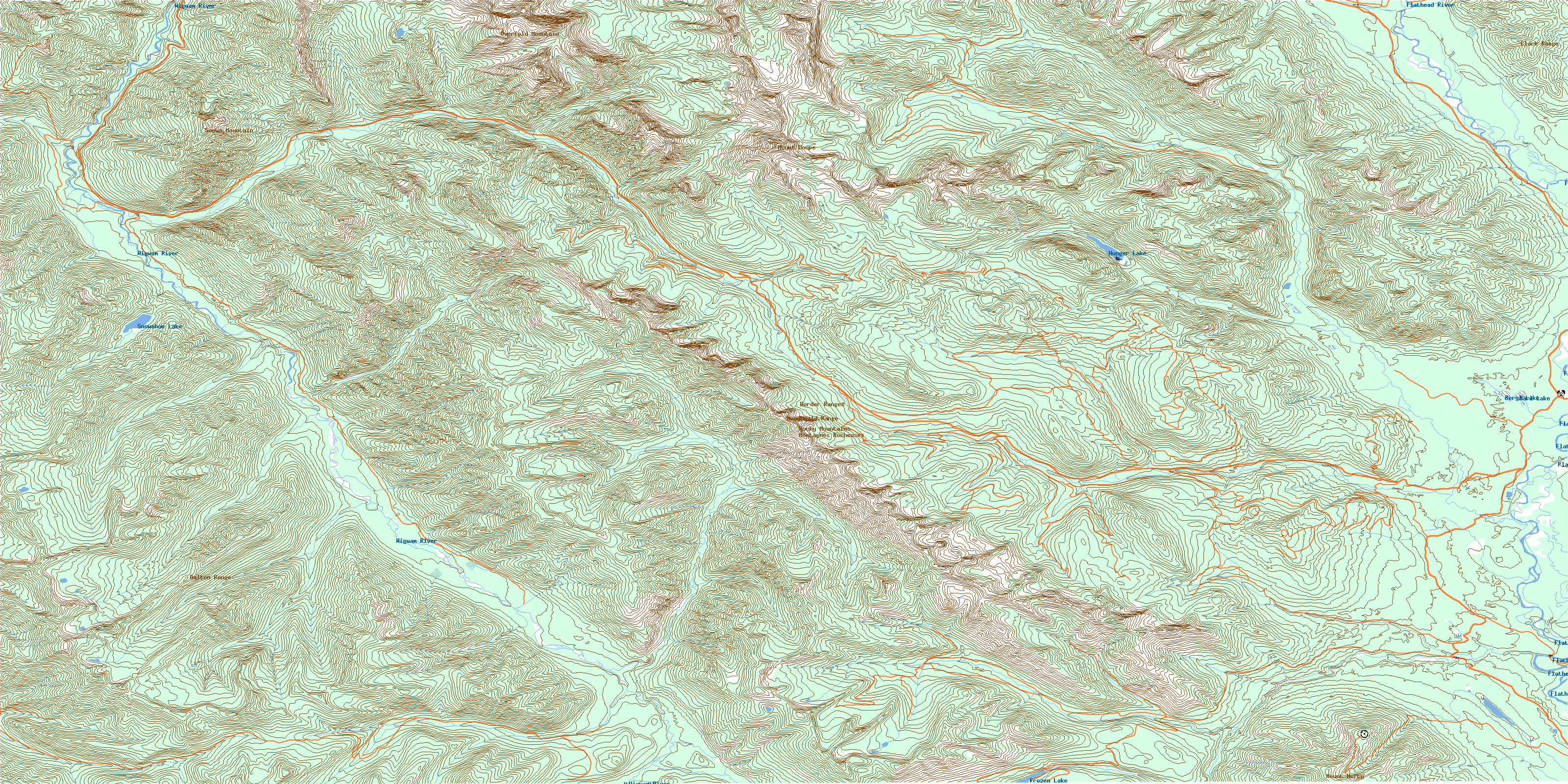
082G02 Inverted Ridge Topo Map
To view this map, mouse over the map preview on the right.
You can also download this topo map for free:
082G02 Inverted Ridge high-resolution topo map image.
Maps for the Inverted Ridge topo map sheet 082G02 at 1:50,000 scale are also available in these versions:
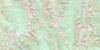
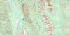
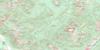
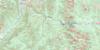
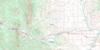
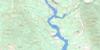
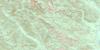
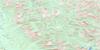
Inverted Ridge Surrounding Area Topo Maps
 |
 |
 |
 |
 |
 |
 |
 |
 |
 |
 |
 |
 |
 |
 |
 |
© Department of Natural Resources Canada. All rights reserved.
Inverted Ridge Gazetteer
The following places can be found on topographic map sheet 082G02 Inverted Ridge:
Inverted Ridge Topo Map: Lakes
Beryl LakeFrozen Lake
Hunger Lake
Marl Lake
Snowshoe Lake
Teds Lake
Inverted Ridge Topo Map: Mountains
Border RangesClark Range
Clarke Range
Couldrey Ridge
Dally Hill
Galton Range
Gold Mountain
Inverted Ridge
Macdonald Range
Montagnes Rocheuses
Mount Doupe
Mount Hefty
Mount Mahaney
Mount Swope
Outlier Ridge
Overfold Mountain
Piaysoo Ridge
Rocky Mountains
Soowa Mountain
Trachyte Ridge
Inverted Ridge Topo Map: Major municipal/district area - major agglomerations
Regional District of East KootenayInverted Ridge Topo Map: Rivers
Beryl CreekBighorn Creek
Blacktail Creek
Blower Creek
Burnham Creek
Cabin Creek
Calder Creek
Cate Creek
Couldrey Creek
Desolation Creek
Elfin Creek
Fenster Creek
Flathead River
Gumbo Creek
Harvey Creek
Howell Creek
Leslie Creek
Middlepass Creek
Miller Creek
Parker Creek
Phillipps Creek
Rabbit Creek
Rainbow Creek
Storm Creek
Twentynine Mile Creek
Weasel Creek
West Kisoo Creek
Wigwam River
Wutluk Creek
Inverted Ridge Topo Map: Valleys
Akatl PassCabin Pass
Flathead Basin
Galton Pass
Kisoo Pass
© Department of Natural Resources Canada. All rights reserved.
082G Related Maps:
082G Fernie082G01 Sage Creek
082G02 Inverted Ridge
082G03 Lake Koocanusa
082G04 Yahk River
082G05 Moyie Lake
082G06 Elko
082G07 Flathead Ridge
082G08 Beaver Mines
082G09 Blairmore
082G10 Crowsnest
082G11 Fernie
082G12 Cranbrook
082G13 Skookumchuck
082G14 Queen Creek
082G15 Tornado Mountain
082G16 Maycroft
