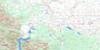
Shanks Lake Topo Map Online
Download Free Topo Map Sheet 082H02 at 1:50,000 scale
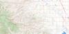
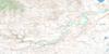
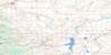
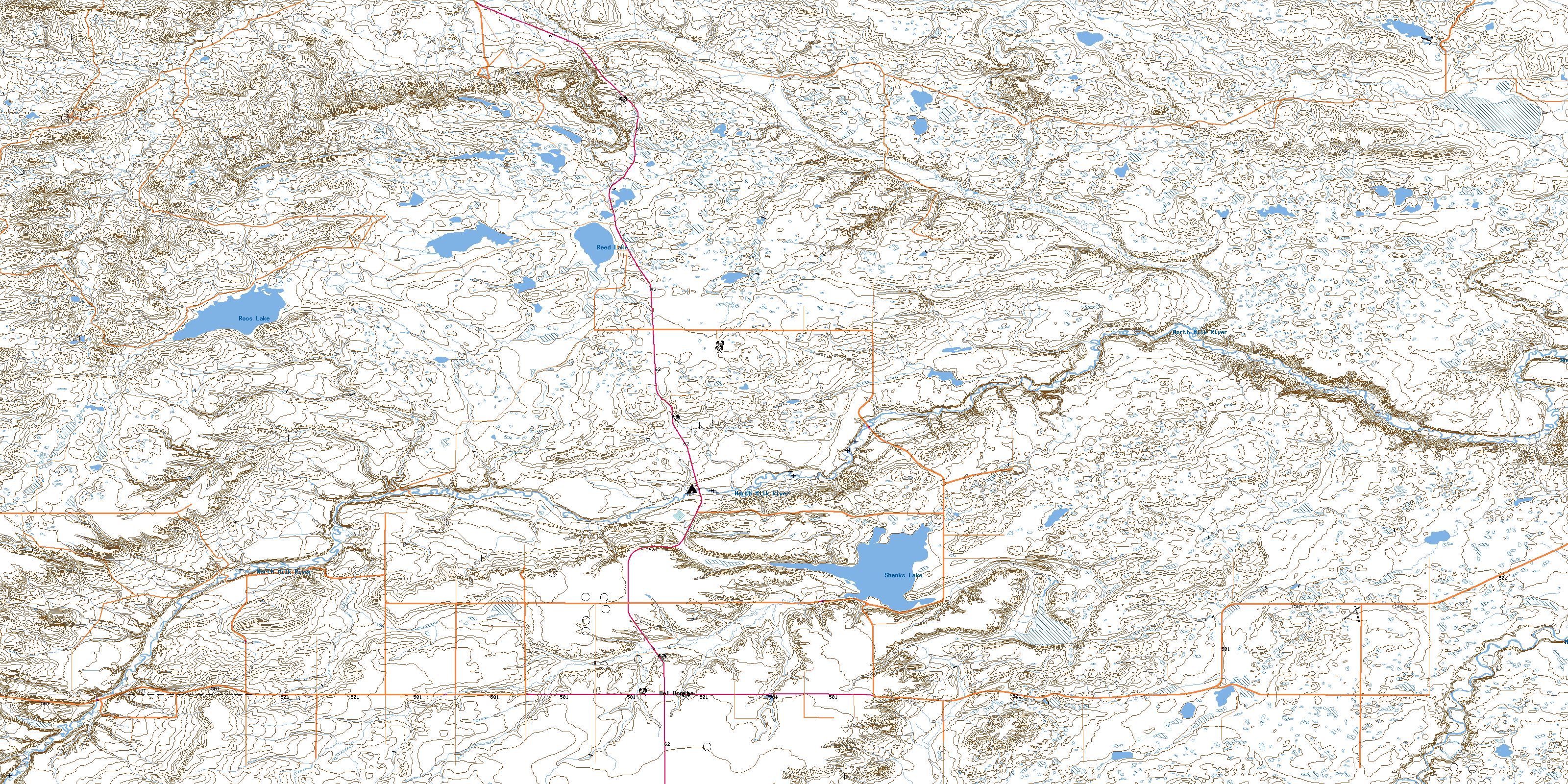
082H02 Shanks Lake Topo Map
To view this map, mouse over the map preview on the right.
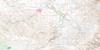
You can also download this topo map for free:
082H02 Shanks Lake high-resolution topo map image.
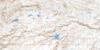
Maps for the Shanks Lake topo map sheet 082H02 at 1:50,000 scale are also available in these versions:
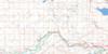
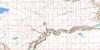
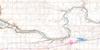
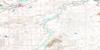
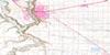
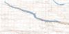
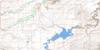
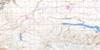
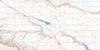
Shanks Lake Surrounding Area Topo Maps
 |
 |
 |
 |
 |
 |
 |
 |
 |
 |
 |
 |
 |
 |
 |
 |
© Department of Natural Resources Canada. All rights reserved.
Shanks Lake Gazetteer
The following places can be found on topographic map sheet 082H02 Shanks Lake:
Shanks Lake Topo Map: Lakes
Lake ShanksReed Lake
Ross Lake
Shanks Lake
Shanks Lake Topo Map: Mountains
Milk River RidgeShanks Lake Topo Map: Major municipal/district area - major agglomerations
Cardston CountyCounty of Warner No. 5
Municipal District of Cardston No. 6
Shanks Lake Topo Map: Rivers
Knight CreekLonely Valley Creek
Milk River
North Milk River
Peters Creek
Pothole Creek
Shanks Creek
Shanks Lake Topo Map: Unincorporated areas
Del BonitaTwin River
© Department of Natural Resources Canada. All rights reserved.
