Fort Macleod Topo Map Online
Download Free Topo Map Sheet 082H11 at 1:50,000 scale
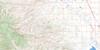
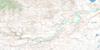
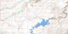
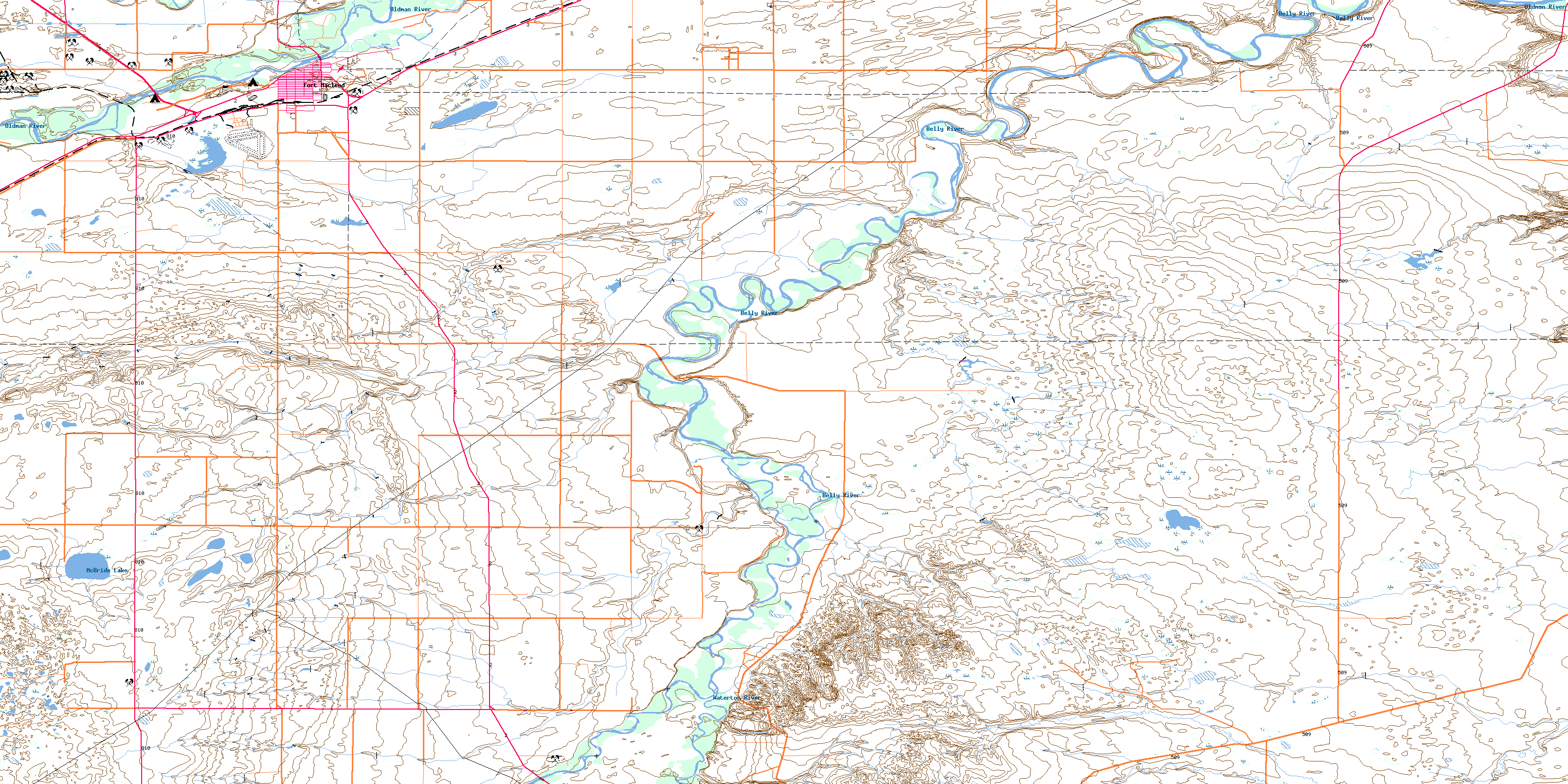
082H11 Fort Macleod Topo Map
To view this map, mouse over the map preview on the right.
You can also download this topo map for free:
082H11 Fort Macleod high-resolution topo map image.
Maps for the Fort Macleod topo map sheet 082H11 at 1:50,000 scale are also available in these versions:
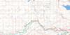
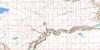
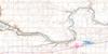
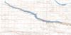
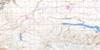
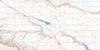
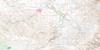
Fort Macleod Surrounding Area Topo Maps
 |
 |
 |
 |
 |
 |
 |
 |
 |
 |
 |
 |
 |
 |
 |
 |
© Department of Natural Resources Canada. All rights reserved.
Fort Macleod Gazetteer
The following places can be found on topographic map sheet 082H11 Fort Macleod:
Fort Macleod Topo Map: Islands
Macleod IslandFort Macleod Topo Map: Lakes
McBride LakeFort Macleod Topo Map: Mountains
Mokowan ButteMokowan Ridge
Wild Turnip Hill
Fort Macleod Topo Map: Major municipal/district area - major agglomerations
Cardston CountyCounty of Lethbridge No. 26
Municipal District of Cardston No. 6
Municipal District of Willow Creek No. 26
Fort Macleod Topo Map: Rivers
Belly RiverOldman River
Waterton River
Willow Creek
Fort Macleod Topo Map: Towns
Fort MacleodFort Macleod Topo Map: Unincorporated areas
ArdenvilleMekastoe
Fort Macleod Topo Map: Valleys
McNab CouleePrairie Blood Coulee
Prairie Blood Coulée
Prairieblood Coulee
© Department of Natural Resources Canada. All rights reserved.
