Dorothy Topo Map Online
Download Free Topo Map Sheet 082P08 at 1:50,000 scale
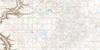
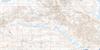
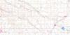
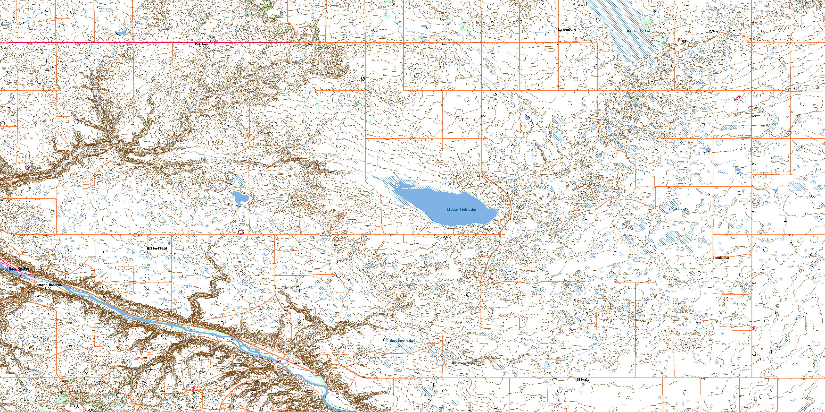
082P08 Dorothy Topo Map
To view this map, mouse over the map preview on the right.
You can also download this topo map for free:
082P08 Dorothy high-resolution topo map image.
Maps for the Dorothy topo map sheet 082P08 at 1:50,000 scale are also available in these versions:
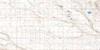
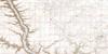
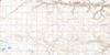
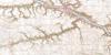
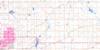
Dorothy Surrounding Area Topo Maps
 |
 |
 |
 |
 |
 |
 |
 |
 |
 |
 |
 |
 |
 |
 |
 |
© Department of Natural Resources Canada. All rights reserved.
Dorothy Gazetteer
The following places can be found on topographic map sheet 082P08 Dorothy:
Dorothy Topo Map: Lakes
Antelope LakesCoyote Lake
Handhills Lake
Little Fish Lake
Dorothy Topo Map: Mountains
Hand HillsThumb Hill
Dorothy Topo Map: Major municipal/district area - major agglomerations
Municipal District of Badlands No. 7Municipal District of Starland No. 47
Starland County
Wheatland County
Dorothy Topo Map: Other municipal/district area - miscellaneous
Special Area No. 2Dorothy Topo Map: Conservation areas
Little Fish Lake Provincial ParkDorothy Topo Map: Rivers
Fish CreekHomestead Creek
Red Deer River
Willow Creek
Dorothy Topo Map: Unincorporated areas
ClivaleDorothy
East Coulee
East Coulée
Lawsonburg
Lonebutte
Millerfield
Rainbow
Western Monarch
Dorothy Topo Map: Valleys
Circus CouleeMcConnell Coulee
© Department of Natural Resources Canada. All rights reserved.
