Sylvan Lake Topo Map Online
Download Free Topo Map Sheet 083B08 at 1:50,000 scale
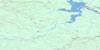
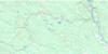
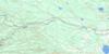
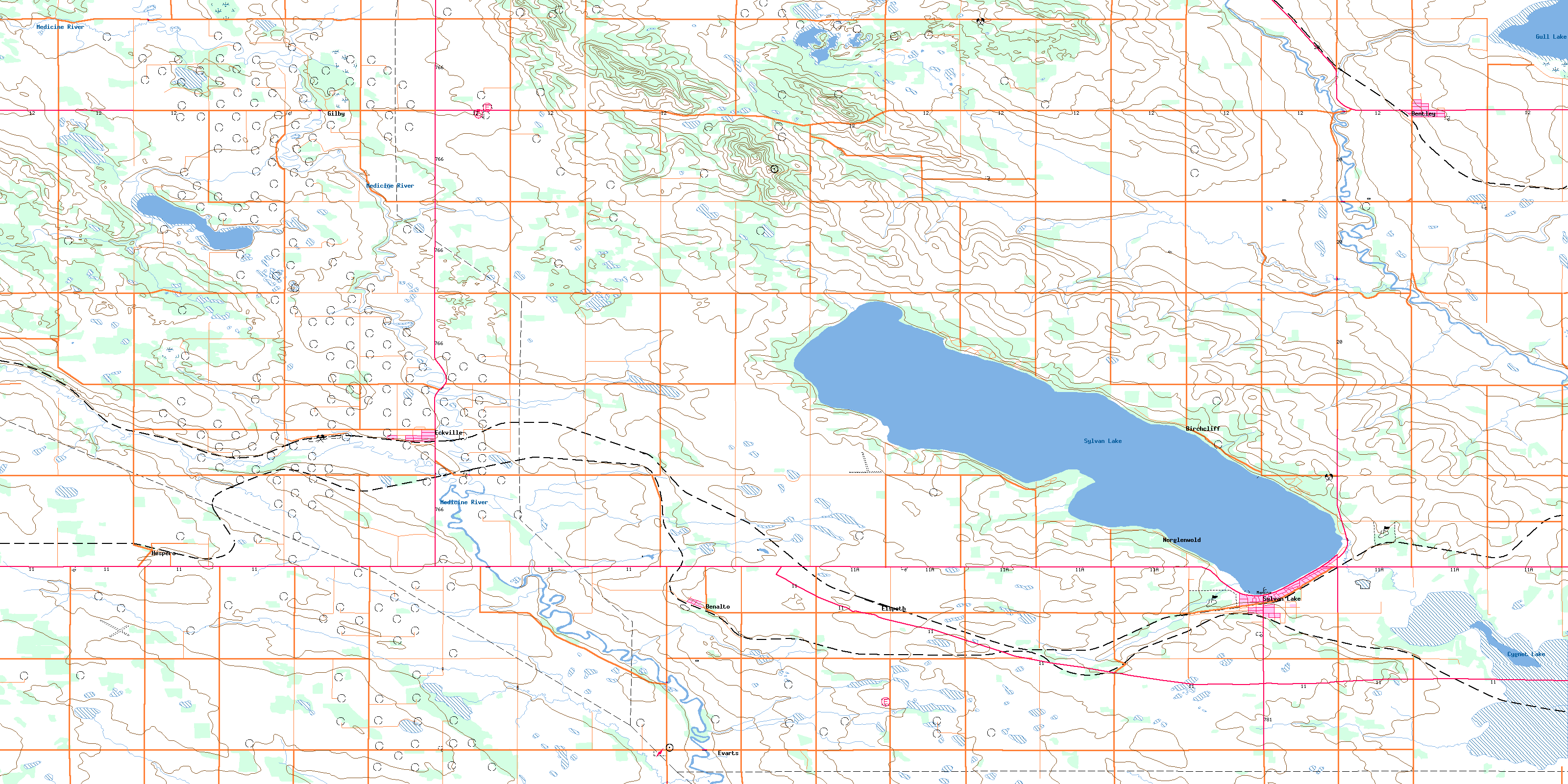
083B08 Sylvan Lake Topo Map
To view this map, mouse over the map preview on the right.
You can also download this topo map for free:
083B08 Sylvan Lake high-resolution topo map image.
Maps for the Sylvan Lake topo map sheet 083B08 at 1:50,000 scale are also available in these versions:
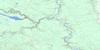
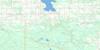
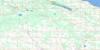
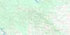
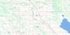
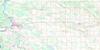
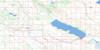
Sylvan Lake Surrounding Area Topo Maps
 |
 |
 |
 |
 |
 |
 |
 |
 |
 |
 |
 |
 |
 |
 |
 |
© Department of Natural Resources Canada. All rights reserved.
Sylvan Lake Gazetteer
The following places can be found on topographic map sheet 083B08 Sylvan Lake:
Sylvan Lake Topo Map: Lakes
Crooked LakeCygnet Lake
Gabriel Lake
Gull Lake
Horseshoe Ponds
Sylvan Lake
Wood Lake
Sylvan Lake Topo Map: Mountains
Blueberry HillsMedicine Lodge Hills
Sunset Hill
Sylvan Lake Topo Map: Major municipal/district area - major agglomerations
Clearwater CountyCounty of Lacombe No. 14
County of Red Deer No. 23
Lacombe County
Municipal District of Clearwater No. 99
Red Deer County
Sylvan Lake Topo Map: Conservation areas
Jarvis Bay Provincial ParkSylvan Lake Provincial Park
Sylvan Lake Topo Map: Rivers
Blindman RiverDurham Creek
Gilpatrick Creek
Lasthill Creek
Medicine River
Nuorison Creek
Rainy Creek
Sylvan Creek
Sylvan Lake Topo Map: Towns
EckvilleSylvan Lake
Sylvan Lake Topo Map: Unincorporated areas
BenaltoElspeth
Evarts
Gilby
Hespero
Kuusamo
Prevo
Sunnyside
Sylvan Lake Topo Map: Villages
BentleyBirchcliff
Half Moon Bay
Jarvis Bay
Norglenwold
Sunbreaker Cove
© Department of Natural Resources Canada. All rights reserved.
083B Related Maps:
083B Rocky Mountain House083B01 Markerville
083B02 Caroline
083B03 Tay River
083B04 Elk Creek
083B05 Saunders
083B06 Crimson Lake
083B07 Rocky Mountain House
083B08 Sylvan Lake
083B09 Rimbey
083B10 Carlos
083B11 Baptiste River
083B12 Harlech
083B13 Nordegg River
083B14 Brazeau Forks
083B15 Buck Lake
083B16 Winfield
