Southesk Lake Topo Map Online
Download Free Topo Map Sheet 083C11 at 1:50,000 scale
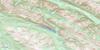
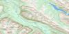
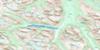
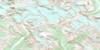
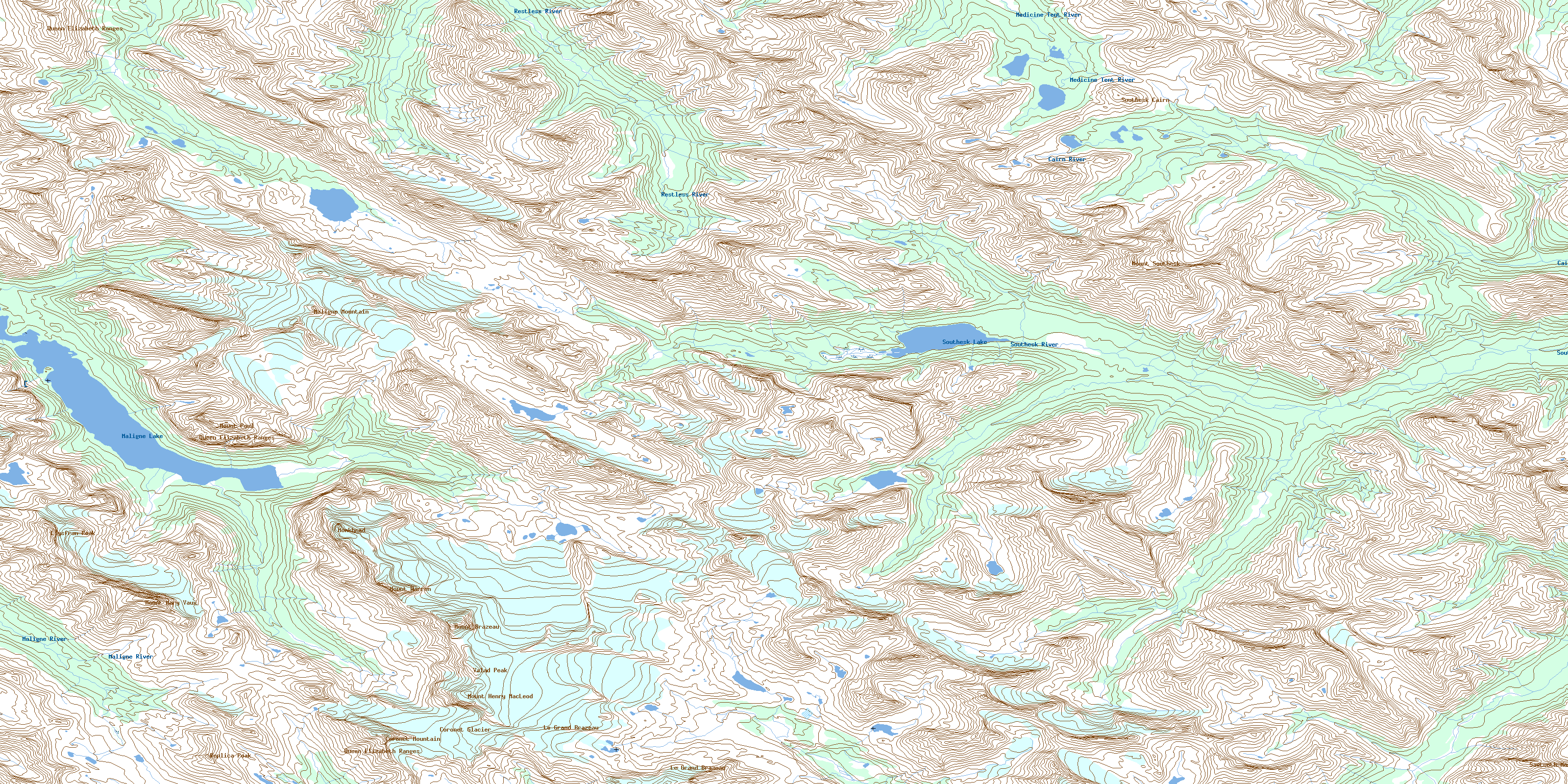
083C11 Southesk Lake Topo Map
To view this map, mouse over the map preview on the right.
You can also download this topo map for free:
083C11 Southesk Lake high-resolution topo map image.
Maps for the Southesk Lake topo map sheet 083C11 at 1:50,000 scale are also available in these versions:
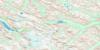
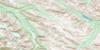
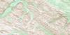
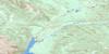
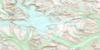
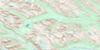
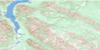
Southesk Lake Surrounding Area Topo Maps
 |
 |
 |
 |
 |
 |
 |
 |
 |
 |
 |
 |
 |
 |
 |
 |
© Department of Natural Resources Canada. All rights reserved.
Southesk Lake Gazetteer
The following places can be found on topographic map sheet 083C11 Southesk Lake:
Southesk Lake Topo Map: Channels
Samson NarrowsSouthesk Lake Topo Map: Glaciers
Coronet GlacierSouthesk Lake Topo Map: Islands
Spirit IslandSouthesk Lake Topo Map: Lakes
Cairn LakesMaligne Lake
Southesk Lake
Southesk Lake Topo Map: Mountains
Coronet MountainEndless Chain Ridge
Le Grand Brazeau
Llysfran Peak
Maligne Mountain
Monkhead
Montagnes Rocheuses
Mount Brazeau
Mount Henry MacLeod
Mount Mary Vaux
Mount Paul
Mount Southesk
Mount Warren
Nikanassin Range
Queen Elizabeth Ranges
Replica Peak
Rocky Mountain Foothills
Rocky Mountains
Sawtooth Mountain
Southesk Cairn
Valad Peak
Southesk Lake Topo Map: Major municipal/district area - major agglomerations
Municipal District of Yellowhead No. 94Yellowhead County
Southesk Lake Topo Map: Other municipal/district area - miscellaneous
Improvement District No. 12Yellowhead Improvement District No. 14
Southesk Lake Topo Map: Conservation areas
Jasper National Park of CanadaParc national du Canada Jasper
Southesk Lake Topo Map: Rivers
Cairn RiverCoronet Creek
Isaac Creek
Maligne River
Medicine Tent River
North-West Brazeau River
Poligne Creek
Restless River
Ruby Creek
Southesk River
Thistle Creek
Warren Creek
Southesk Lake Topo Map: Valleys
Dean PassElusive Pass
Maligne Pass
Poacher Basin
Southesk Pass
© Department of Natural Resources Canada. All rights reserved.
083C Related Maps:
083C Brazeau Lake083C01 Whiterabbit Creek
083C02 Cline River
083C03 Columbia Icefield
083C04 Clemenceau Icefield
083C05 Fortress Lake
083C06 Sunwapta Peak
083C07 Job Creek
083C08 Nordegg
083C09 Wapiabi Creek
083C10 George Creek
083C11 Southesk Lake
083C12 Athabasca Falls
083C13 Medicine Lake
083C14 Mountain Park
083C15 Cardinal River
083C16 Blackstone River
