Athabasca Falls Topo Map Online
Download Free Topo Map Sheet 083C12 at 1:50,000 scale
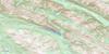
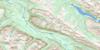
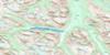
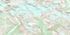
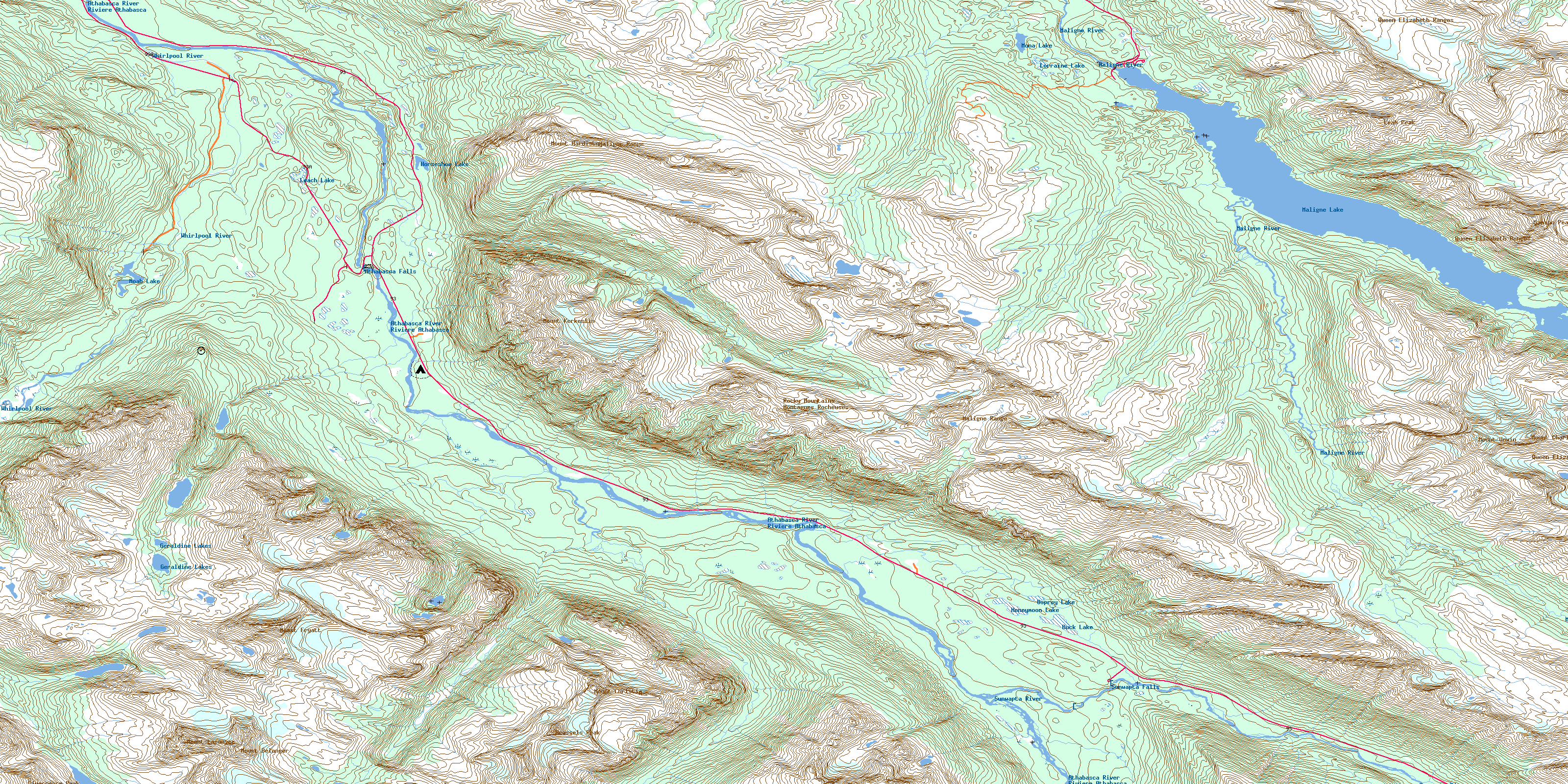
083C12 Athabasca Falls Topo Map
To view this map, mouse over the map preview on the right.
You can also download this topo map for free:
083C12 Athabasca Falls high-resolution topo map image.
Maps for the Athabasca Falls topo map sheet 083C12 at 1:50,000 scale are also available in these versions:
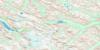
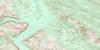
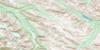
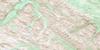
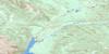
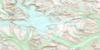
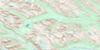
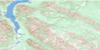
Athabasca Falls Surrounding Area Topo Maps
 |
 |
 |
 |
 |
 |
 |
 |
 |
 |
 |
 |
 |
 |
 |
 |
© Department of Natural Resources Canada. All rights reserved.
Athabasca Falls Gazetteer
The following places can be found on topographic map sheet 083C12 Athabasca Falls:
Athabasca Falls Topo Map: Channels
Samson NarrowsAthabasca Falls Topo Map: Falls
Athabasca FallsSunwapta Falls
Athabasca Falls Topo Map: Lakes
16 1/2 Mile LakeAntler Lakes
Buck Lake
Evelyn Lakes
Fryatt Lake
Geraldine Lakes
Honeymoon Lake
Horseshoe Lake
Leach Lake
Lorraine Lake
Lower Colefair Lake
Maligne Lake
Moab Lake
Mona Lake
Moose Lake
Osprey Lake
Upper Colefair Lake
Athabasca Falls Topo Map: Mountains
Brussels PeakDivergence Peak
Divergence Peak
Endless Chain Ridge
Kerkeslin Mountain
Leah Peak
Maligne Range
Montagnes Rocheuses
Mount Belanger
Mount Charlton
Mount Christie
Mount Fryatt
Mount Hardisty
Mount Kerkeslin
Mount Lapensée
Mount Unwin
Opal Hills
Queen Elizabeth Ranges
Rocky Mountains
Samson Peak
Winston Churchill Range
Athabasca Falls Topo Map: Other municipal/district area - miscellaneous
Improvement District No. 12Athabasca Falls Topo Map: Conservation areas
Jasper National Park of CanadaParc national du Canada Jasper
Athabasca Falls Topo Map: Rivers
Athabasca RiverAthabaska River
Divergence Creek
Fryatt Creek
Hardisty Creek
Helmet Creek
Lick Creek
Maligne River
Ranger Creek
Rivière Athabasca
Sunwapta River
Trapper Creek
Whirlpool River
Athabasca Falls Topo Map: River features
Moberly BendAthabasca Falls Topo Map: Shoals
Frog RocksAthabasca Falls Topo Map: Valleys
Evelyn PassLittle Shovel Pass
Little Snowbowl
Snowshoe Pass
The Snowbowl
Trapper Pass
© Department of Natural Resources Canada. All rights reserved.
083C Related Maps:
083C Brazeau Lake083C01 Whiterabbit Creek
083C02 Cline River
083C03 Columbia Icefield
083C04 Clemenceau Icefield
083C05 Fortress Lake
083C06 Sunwapta Peak
083C07 Job Creek
083C08 Nordegg
083C09 Wapiabi Creek
083C10 George Creek
083C11 Southesk Lake
083C12 Athabasca Falls
083C13 Medicine Lake
083C14 Mountain Park
083C15 Cardinal River
083C16 Blackstone River
