Kakwa Falls Topo Map Online
Download Free Topo Map Sheet 083L04 at 1:50,000 scale
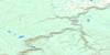
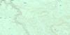
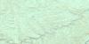
083L04 Kakwa Falls Topo Map
To view this map, mouse over the map preview on the right.
You can also download this topo map for free:
083L04 Kakwa Falls high-resolution topo map image.
Maps for the Kakwa Falls topo map sheet 083L04 at 1:50,000 scale are also available in these versions:
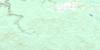
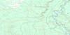
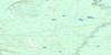
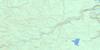
Kakwa Falls Surrounding Area Topo Maps
 |
 |
 |
 |
 |
 |
 |
 |
 |
 |
 |
 |
 |
 |
 |
 |
© Department of Natural Resources Canada. All rights reserved.
Kakwa Falls Gazetteer
The following places can be found on topographic map sheet 083L04 Kakwa Falls:
Kakwa Falls Topo Map: Falls
Francis Peak Creek FallsKakwa Falls
Lower Kakwa Falls
Kakwa Falls Topo Map: Lakes
Base Line LakeKakwa Falls Topo Map: Mountains
Coal RidgeFrancis Peak
George Peak
Horn Ridge
Kakwa Mountain
Mount Gorman
Mount May
Rim Ridge
Rocky Mountain Foothills
Rocky Mountains
Sulfur Ridge
Kakwa Falls Topo Map: Major municipal/district area - major agglomerations
Municipal District of Greenview No. 16Kakwa Falls Topo Map: Other municipal/district area - miscellaneous
Improvement District No. 25Kakwa Falls Topo Map: Conservation areas
Willmore Wilderness Provincial ParkKakwa Falls Topo Map: Rivers
Bank CreekCaw Creek
Copton Creek
Falls Creek
Francis Peak Creek
Hat Creek
Hidden Valley Creek
Horn Creek
Kakwa River
Lick Creek
Lynx Creek
Mouse Cache Creek
Putzy Creek
South Kakwa River
South Torrens River
Stetson Creek
Stinking Creek
Torrens River
Kakwa Falls Topo Map: Road features
Copton Creek TrailKakwa Falls Topo Map: Springs
Stinking SpringsKakwa Falls Topo Map: Valleys
Hidden ValleyKakwa Falls Topo Map: Low vegetation
Dead Horse Meadows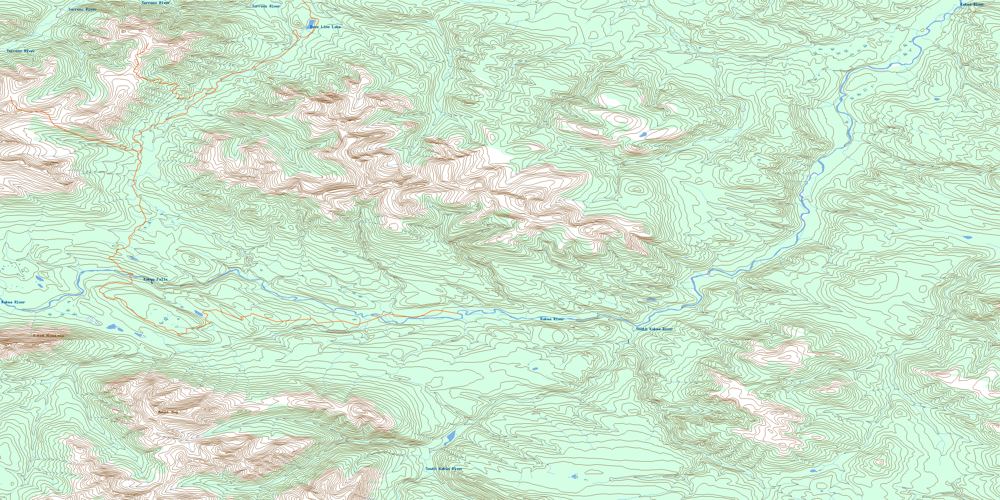
© Department of Natural Resources Canada. All rights reserved.
083L Related Maps:
083L Wapiti083L01 No Title
083L02 Bolton Creek
083L03 Copton Creek
083L04 Kakwa Falls
083L05 Two Lakes
083L06 Chicken Creek
083L07 Prairie Creek
083L08 Amundson
083L09 Latornell
083L10 Cutbank River
083L11 No Title
083L12 Lingrell Lake
083L13 Calahoo Creek
083L14 Wapiti
083L15 Big Mountain Creek
083L16 Lignite Creek
