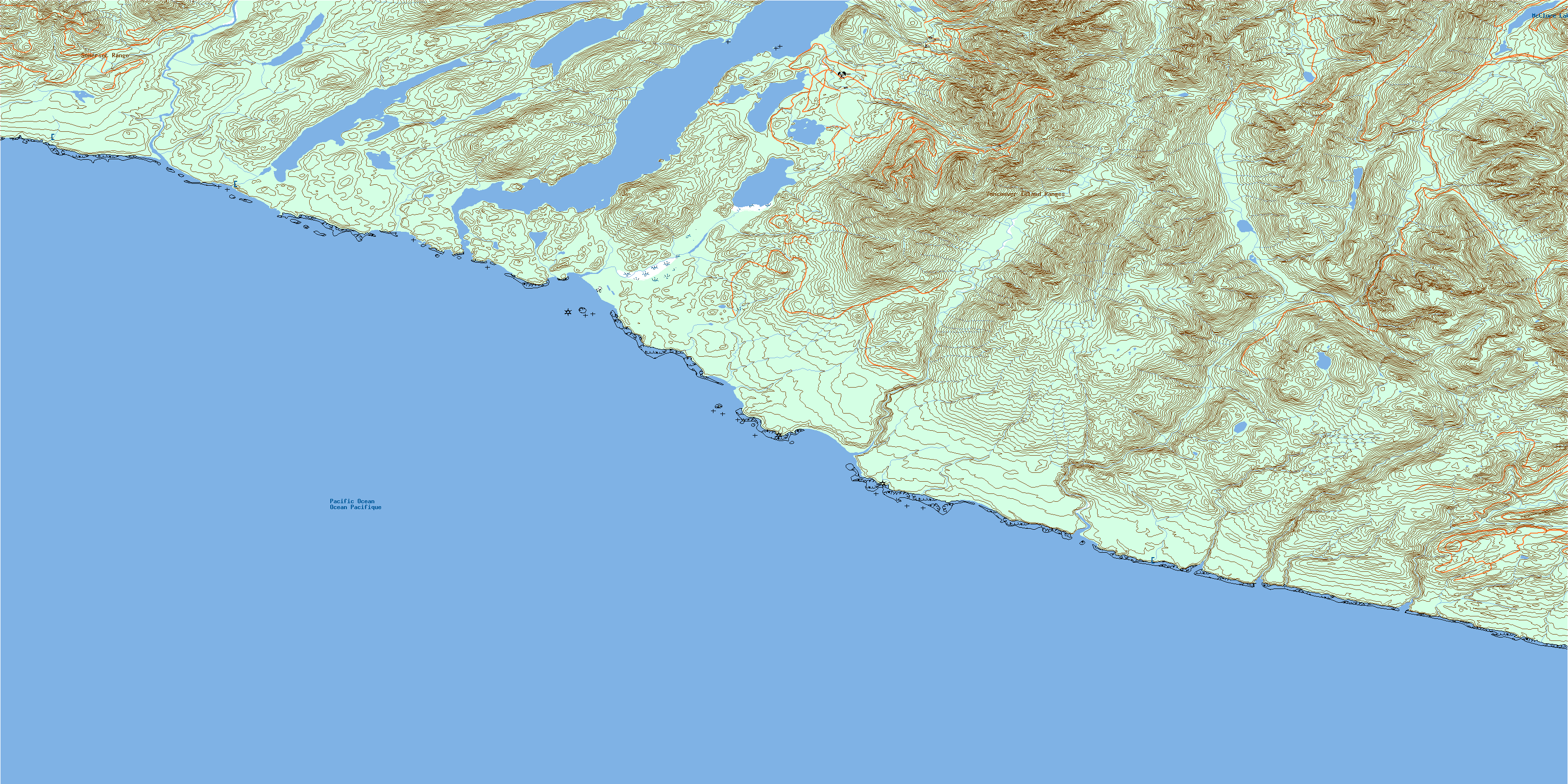
Carmanah Creek Topo Map Online
Download Free Topo Map Sheet 092C10 at 1:50,000 scale
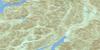
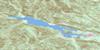
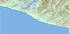
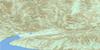
092C10 Carmanah Creek Topo Map
To view this map, mouse over the map preview on the right.
You can also download this topo map for free:
092C10 Carmanah Creek high-resolution topo map image.
Maps for the Carmanah Creek topo map sheet 092C10 at 1:50,000 scale are also available in these versions:
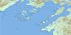
Carmanah Creek Surrounding Area Topo Maps
 |
 |
 |
 |
 |
 |
 |
|
 |
|||
© Department of Natural Resources Canada. All rights reserved.
Carmanah Creek Gazetteer
The following places can be found on topographic map sheet 092C10 Carmanah Creek:
Carmanah Creek Topo Map: Bays
Brown CoveCamper Bay
Cannery Bay
Clo-oose Bay
Cullite Cove
Daykins Bay
Dooches Bay
Mud Bay
Carmanah Creek Topo Map: Beaches
Dare BeachNitinat Bar
Stanley Beach
Carmanah Creek Topo Map: Capes
Bonilla PointCarmanah Point
Dare Point
Dickinsons Point
Martins Point
Tsuquadra Point
Tsuquanah Point
Tsusiat Point
Vancouver Point
Whyac Point
Carmanah Creek Topo Map: Channels
Juan de Fuca StraitNitinat Narrows
Carmanah Creek Topo Map: Cliffs
Limestone BluffsValencia Bluffs
Carmanah Creek Topo Map: Falls
Tsusiat FallsCarmanah Creek Topo Map: Indian Reserves
Ahuk Indian Reserve 1Carmanah Indian Reserve 6
Cheewat Indian Reserve 4A
Claoose Indian Reserve 4
Cullite Indian Reserve 3
Doobah Indian Reserve 10
Iktuksasuk Indian Reserve 7
Oyees Indian Reserve 9
Réserve indienne Ahuk 1
Réserve indienne Carmanah 6
Réserve indienne Cheewat 4A
Réserve indienne Claoose 4
Réserve indienne Cullite 3
Réserve indienne Doobah 10
Réserve indienne Iktuksasuk 7
Réserve indienne Oyees 9
Réserve indienne Sarque 5
Réserve indienne Tsuquanah 2
Réserve indienne Wyah 3
Sarque Indian Reserve 5
Tsuquanah Indian Reserve 2
Wyah Indian Reserve 3
Carmanah Creek Topo Map: Islands
Île de VancouverVancouver Island
Carmanah Creek Topo Map: Lakes
Blue LakeCheewhat Lake
Clo-oose Lake
Doobah Lake
Glad Lake
Hobiton Lake
Little Squalicum Lake
Little Tsusiat Lake
McClure Lake
Nitinat Lake
Oyees Lake
Sprise Lake
Squalicum Lake
Tsuquadra Lake
Tsusiat Lake
Carmanah Creek Topo Map: Mountains
Carmanah MountainHobiton Ridge
House Cone
Mount Walbran
Nitinat Cone
Nitinat Hill
Smokehouse Mountain
Somerset Range
Vancouver Island Mountains
Vancouver Island Ranges
Carmanah Creek Topo Map: Major municipal/district area - major agglomerations
Capital Regional DistrictCowichan Valley Regional District
Regional District of Alberni-Clayoquot
Carmanah Creek Topo Map: Conservation areas
Carmanah Pacific ParkCarmanah Walbran Park
Pacific Rim National Park Reserve of Canada
Réserve de parc national du Canada Pacific Rim
Carmanah Creek Topo Map: Rivers
150 Yard CreekAdrenaline Creek
August Creek
Billy Goat Creek
Blue Creek
Bonilla Creek
Bugaboo Creek
Camper Creek
Carmanah Creek
Cheewhat River
Clo-oose Creek
Coal Creek
Cribs Creek
Cullite Creek
Doobah Creek
Hatton Creek
Hobiton Creek
Kalide Creek
Klanawa River
Kulaht Creek
Logan Creek
Marchand Creek
Nitinat River
Sandstone Creek
Squalicum Creek
Trestle Creek
Trisle Creek
Tsocowis Creek
Tsusiat River
Walbran Creek
Carmanah Creek Topo Map: Road features
West Coast TrailCarmanah Creek Topo Map: Shoals
Swiftsure BankCarmanah Creek Topo Map: Unincorporated areas
Clo-ooseWhyac
© Department of Natural Resources Canada. All rights reserved.
