Hesquiat Topo Map Online
Download Free Topo Map Sheet 092E08 at 1:50,000 scale
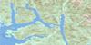
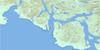
092E08 Hesquiat Topo Map
To view this map, mouse over the map preview on the right.
You can also download this topo map for free:
092E08 Hesquiat high-resolution topo map image.
Maps for the Hesquiat topo map sheet 092E08 at 1:50,000 scale are also available in these versions:
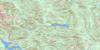
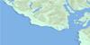
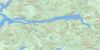
Hesquiat Surrounding Area Topo Maps
 |
 |
 |
|
 |
 |
||
 |
 |
||
 |
© Department of Natural Resources Canada. All rights reserved.
Hesquiat Gazetteer
The following places can be found on topographic map sheet 092E08 Hesquiat:
Hesquiat Topo Map: Bays
Bacchante BayBawden Bay
Boat Basin
Bottleneck Cove
Cow Bay
Dixon Bay
East Bay
Herbert Arm
Herbert Inlet
Hesquiat Harbour
Holmes Inlet
Homais Cove
Homeis Cove
Hootla-Kootla Bay
Hot Springs Cove
Matilda Inlet
North Arm
Pretty Girl Cove
Rae Basin
Refuge Cove
Riley Cove
Shelter Arm
Shelter Inlet
Siwash Cove
Smokehouse Bay
Steamer Cove
Stewardson Inlet
Sydney Inlet
Whitesand Cove
Young Bay
Hesquiat Topo Map: Beaches
Hesquiat BarHesquiat Topo Map: Capes
Adventure PointAntons Spit
Base Point
Bawden Point
Belcher Point
Boulder Point
Clifford Point
Dagger Point
Dixon Point
Driver Point
East Entrance Point
Hesquiat Peninsula
Hesquiat Point
Kutcous Point
Le Claire Point
Matlahaw Point
McNeil Peninsula
Openit Peninsula
Rafael Point
Rondeault Point
Sharp Point
Split Cape
Starling Point
Yates Point
Hesquiat Topo Map: Channels
Hayden PassageRocky Passage
Ross Passage
Sulphur Passage
Hesquiat Topo Map: Indian Reserves
Hesquiat Indian Reserve 1Hisnit Fishery Indian Reserve 34
Kutcous Point Indian Reserve 33
Maahpe Indian Reserve 4
Marktosis Indian Reserve 15
Openit Indian Reserve 27
Refuge Cove Indian Reserve 6
Réserve indienne Hesquiat 1
Réserve indienne Hisnit Fishery 34
Réserve indienne Kutcous Point 33
Réserve indienne Maahpe 4
Réserve indienne Marktosis 15
Réserve indienne Openit 27
Réserve indienne Refuge Cove 6
Réserve indienne Seektukis 24
Réserve indienne Swan 35
Réserve indienne Teahmit 3
Réserve indienne Tequa 21
Réserve indienne Tootoowiltena 28
Réserve indienne Wappook 26
Réserve indienne Watta 25
Seektukis Indian Reserve 24
Swan Indian Reserve 35
Teahmit Indian Reserve 3
Tequa Indian Reserve 21
Tootoowiltena Indian Reserve 28
Wappook Indian Reserve 26
Watta Indian Reserve 25
Hesquiat Topo Map: Islands
Clio IslandCone Island
Darr Island
Flores Island
George Islands
Île de Vancouver
Kutcous Islets
Mate Islands
McKay Island
McKinn Island
McKinn Islets
Obstruction Island
Vancouver Island
Hesquiat Topo Map: Lakes
Alto LakeCamp Lake
Cecilia Lake
Easter Lake
Ellen Lake
Grenville Lake
Hesquiat Lake
Hisnit Lake
Ice Lake
Kanim Lake
Megin Lake
Pretty Girl Lake
Rae Lake
Riley Lake
Sheila Lake
Shiela Lake
Village Lake
Hesquiat Topo Map: Mountains
Bourke MountainsMacGregor Mountains
MacGregor Range
Mount Arthur
Mount Bourke
Mount Flores
Rafael Cone
Steamer Mountain
Vancouver Island Ranges
Hesquiat Topo Map: Major municipal/district area - major agglomerations
Regional District of Alberni-ClayoquotHesquiat Topo Map: Conservation areas
Flores Island ParkGibson Marine Park
Maquinna Marine Park
Maquinna Park
Sulphur Passage Park
Sydney Inlet Park
Hesquiat Topo Map: Rivers
Atleo RiverBawden Creek
Cecilia Creek
Clay Creek
Cow Creek
Hesquiat Point Creek
Ice River
Megin River
Millar Channel
Purdon Creek
Riley Creek
Satchie Creek
Satchie River
Shelter Creek
Steamer Creek
Talbot Creek
Watta Creek
Hesquiat Topo Map: Shoals
Barney RocksCanoe Reef
Canoe Rocks
Hesquiat Topo Map: Springs
Ramsay Hot SpringHesquiat Topo Map: Unincorporated areas
AhousatBoat Basin
Hesquiat
Hesquiat
Hot Springs Cove
Marktosis
Stewardson Inlet
Hesquiat Topo Map: Valleys
Round Saddle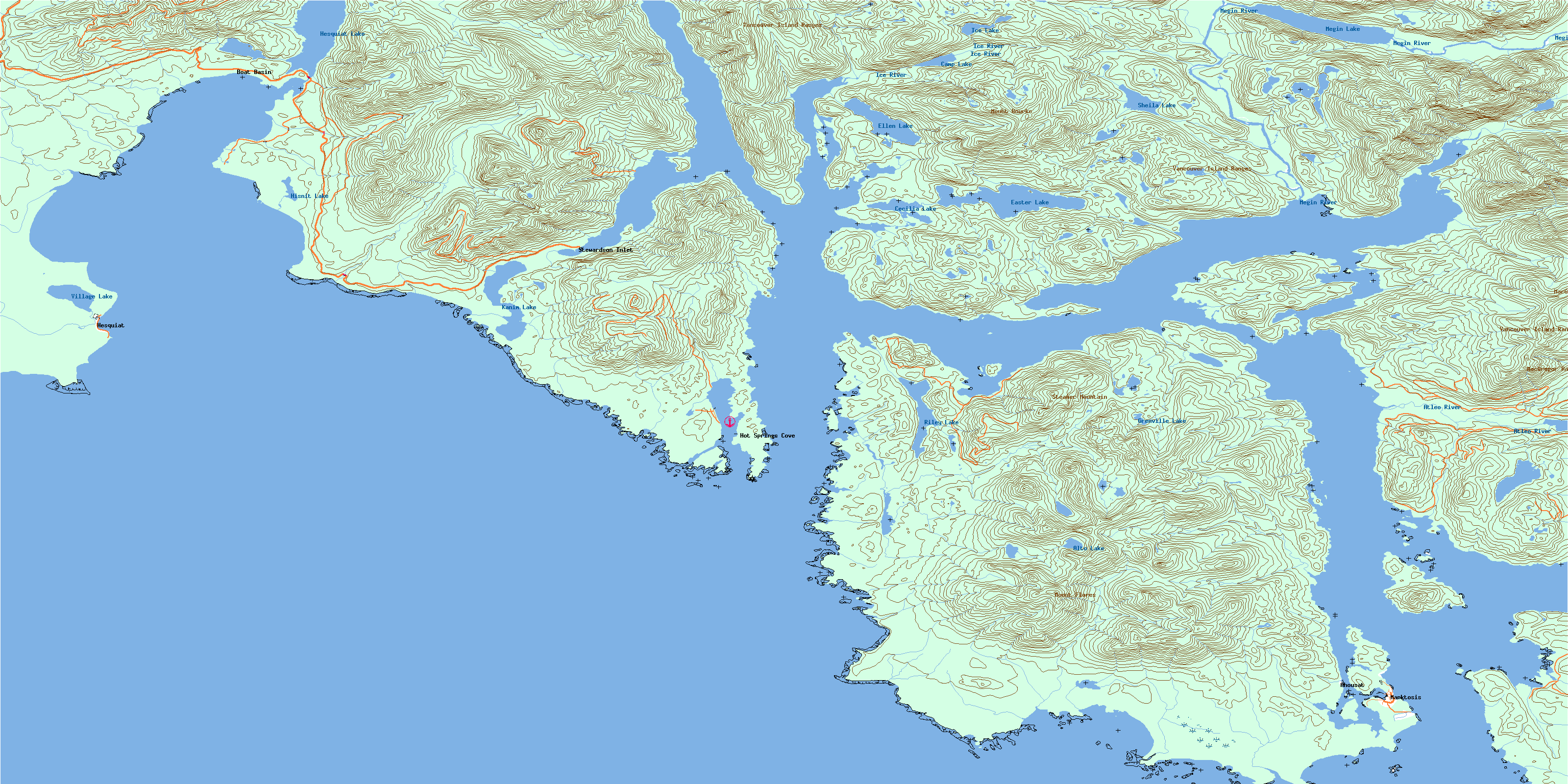
© Department of Natural Resources Canada. All rights reserved.
