Nanaimo Lakes Topo Map Online
Download Free Topo Map Sheet 092F01 at 1:50,000 scale
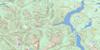
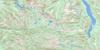
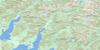
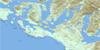
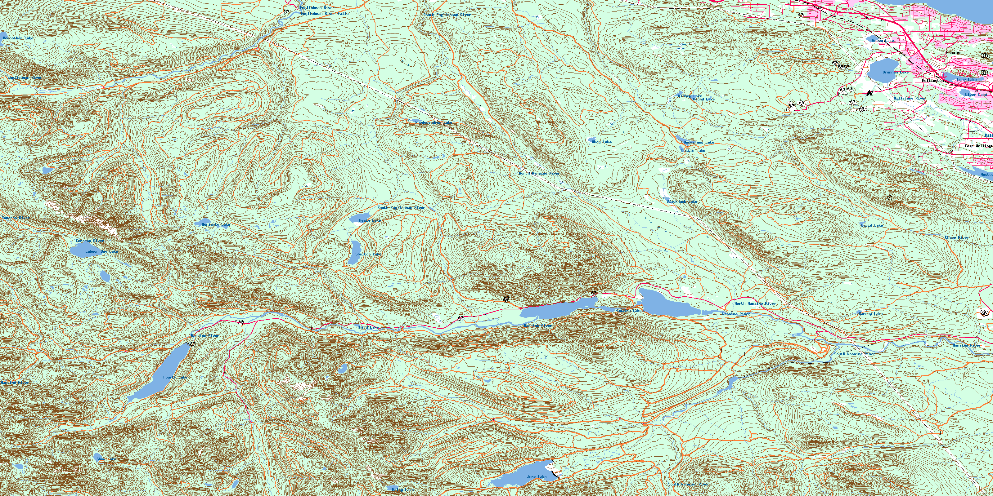
092F01 Nanaimo Lakes Topo Map
To view this map, mouse over the map preview on the right.
You can also download this topo map for free:
092F01 Nanaimo Lakes high-resolution topo map image.
Maps for the Nanaimo Lakes topo map sheet 092F01 at 1:50,000 scale are also available in these versions:
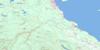
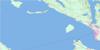
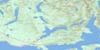
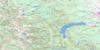
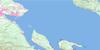
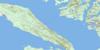
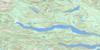
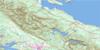
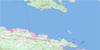
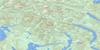
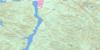
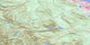
Nanaimo Lakes Surrounding Area Topo Maps
 |
 |
 |
 |
 |
 |
 |
 |
 |
 |
 |
 |
 |
 |
 |
 |
© Department of Natural Resources Canada. All rights reserved.
Nanaimo Lakes Gazetteer
The following places can be found on topographic map sheet 092F01 Nanaimo Lakes:
Nanaimo Lakes Topo Map: Capes
Icarus PointNanaimo Lakes Topo Map: Channels
Strait of GeorgiaNanaimo Lakes Topo Map: City
NanaimoNanaimo Lakes Topo Map: District municipality
LantzvilleNanaimo Lakes Topo Map: Falls
Englishman River FallsNanaimo Lakes Topo Map: Geographical areas
Cameron Land DistrictCowichan Lake Land District
Douglas Land District
Dunsmuir Land District
Mountain Land District
Nanoose Land District
Wellington Land District
Nanaimo Lakes Topo Map: Indian Reserves
Nanoose Indian ReserveRéserve indienne Nanoose
Nanaimo Lakes Topo Map: Islands
Île de VancouverVancouver Island
Nanaimo Lakes Topo Map: Lakes
Barsby LakeBlackjack Lake
Boomerang Lake
Brannen Lake
Cottle Lake
Diver Lake
Fourth Lake
Green Lake
Haley Lake
Healy Lake
Jump Lake
Kidney Lake
Knight Lake
Labour Day Lake
Long Lake
Lucid Lake
Moriarty Lake
Nanaimo Lakes
Okay Lake
Rhododendron Lake
Round Lake
Rowbotham Lake
Shaw Lake
Shelton Lake
Sno-Bird Lake
Third Lake
Westwood Lake
Nanaimo Lakes Topo Map: Military areas
Champ de tir NanaimoNanaimo Range
Nanaimo Lakes Topo Map: Mountains
Blackjack RidgeBuffalo Hump
Butler Peak
Cottle Hill
Gemini Mountain
Green Mountain
McKay Peak
Mount Benson
Mount DeCosmos
Mount Hooker
Mount Moriarty
Okay Mountain
Vancouver Island Mountains
Vancouver Island Ranges
Nanaimo Lakes Topo Map: Major municipal/district area - major agglomerations
Cowichan Valley Regional DistrictRegional District of Nanaimo
Nanaimo Lakes Topo Map: Conservation areas
Arbutus Grove ParkEnglishman River Falls Park
Long Lake Park
Nanaimo Lakes Topo Map: Rivers
Anderson CreekBell Creek
Benson Creek
Blackjack Creek
Bloods Creek
Bonell Creek
Boulder Creek
Cameron River
Chase River
Craig Creek
Dash Creek
Deadhorse Creek
Dunsmuir Creek
Elkhorn Creek
Englishman River
Fleece Creek
Flynnfall Creek
Green Creek
Green River
Hardy Creek
Jump Creek
Knarston Creek
Manson Creek
Marshall Creek
McGarrigle Creek
McNeil Creek
Metral Creek
Millstone River
Moriarty Creek
Nanaimo River
Nanoose Creek
North Nanaimo River
Price Creek
Rockyrun Creek
Rush Creek
Sadie Creek
Shaw Creek
South Englishman River
South Nanaimo River
Whisky-jack Creek
Wolf Creek
Nanaimo Lakes Topo Map: Unincorporated areas
East WellingtonWellington
© Department of Natural Resources Canada. All rights reserved.
092F Related Maps:
092F Port Alberni092F01 Nanaimo Lakes
092F02 Alberni Inlet
092F03 Effingham River
092F04 Tofino
092F05 Bedwell River
092F06 Great Central Lake
092F07 Horne Lake
092F08 Parksville
092F09 Texada Island
092F10 Comox
092F11 Forbidden Plateau
092F12 Buttle Lake
092F13 Upper Campbell Lake
092F14 Oyster River
092F15 Powell River
092F16 Haslam Lake
