Horne Lake Topo Map Online
Download Free Topo Map Sheet 092F07 at 1:50,000 scale
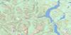
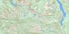
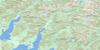
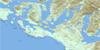
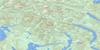
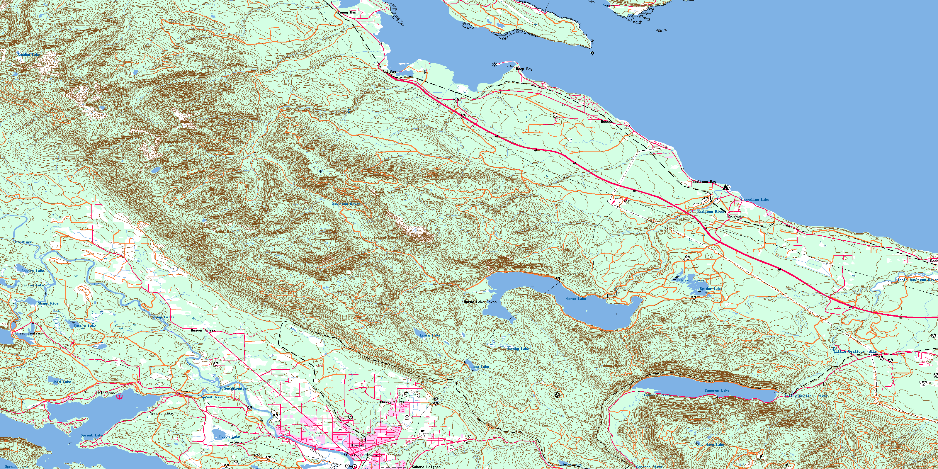
092F07 Horne Lake Topo Map
To view this map, mouse over the map preview on the right.
You can also download this topo map for free:
092F07 Horne Lake high-resolution topo map image.
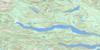
Maps for the Horne Lake topo map sheet 092F07 at 1:50,000 scale are also available in these versions:
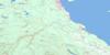
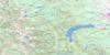
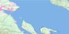
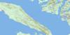
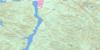
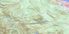
Horne Lake Surrounding Area Topo Maps
 |
 |
 |
 |
 |
 |
 |
 |
 |
 |
 |
 |
 |
 |
 |
 |
© Department of Natural Resources Canada. All rights reserved.
Horne Lake Gazetteer
The following places can be found on topographic map sheet 092F07 Horne Lake:
Horne Lake Topo Map: Bays
Deep BayFanny Bay
Ford Cove
Gravelly Bay
Metcalf Bay
Mud Bay
Port Alberni
Qualicum Bay
Stirling Arm
Two Rivers Arm
Horne Lake Topo Map: Capes
Boyle PointEagle Point
Faber Point
Mapleguard Point
Norman Point
Reef Point
Repulse Point
Ship Peninsula
Stirling Head
Horne Lake Topo Map: Channels
Baynes SoundLambert Channel
Strait of Georgia
Horne Lake Topo Map: City
Port AlberniHorne Lake Topo Map: Falls
Little Qualicum FallsStamp Falls
Horne Lake Topo Map: Forests
Cathedral GroveHorne Lake Topo Map: Geographical areas
Alberni Land DistrictCameron Land District
Clayoquot Land District
Nanaimo Land District
Newcastle Land District
Horne Lake Topo Map: Indian Reserves
Ahahswinis Indian Reserve 1Klehkoot Indian Reserve 2
Qualicum Indian Reserve
Réserve indienne Ahahswinis 1
Réserve indienne Klehkoot 2
Réserve indienne Qualicum
Réserve indienne Tsahaheh 1
Tsahaheh Indian Reserve 1
Horne Lake Topo Map: Islands
Chrome IslandDenman Island
Hornby Island
Île de Vancouver
Johnstone Island
Toby Island
Vancouver Island
Horne Lake Topo Map: Lakes
Boot LagoonCameron Lake
Devils Den Lake
Esary Lake
Great Central Lake
Horne Lake
Illusion Lakes
Lacy Lake
Loon Lake
Marshy Lake
McCoy Lake
Patterson Lake
Shoreline Lake
Somers Lake
Spider Lake
Sproat Lake
St. Mary Lake
Summit Lake
Sumner Lake
Sundew Lake
Turtle Lake
Ward Lake
Horne Lake Topo Map: Mountains
Beaufort RangeHals Mountain
Mount Apps
Mount Curran
Mount Hal
Mount Horne
Mount Irwin
Mount Joan
Mount Mark
Mount Schofield
Mount Wesley
The Squarehead
Vancouver Island Mountains
Vancouver Island Ranges
Wesley Ridge
Horne Lake Topo Map: Major municipal/district area - major agglomerations
Regional District of Alberni-ClayoquotRegional District of Comox-Strathcona
Regional District of Nanaimo
Horne Lake Topo Map: Conservation areas
Boyle Point ParkCameron Lake Park
Fosselli Park
Fossli Park
Helliwell Park
Horne Lake Caves Park
Lieutenant Ian Philip MacDonald Picnic Area
Little Qualicum Falls Park
MacDonald Picnic Area
MacMillan Park
Mount Arrowsmith Park
Rosewall Creek Park
Spider Lake Park
Sproat Lake Park
Stamp Falls Park
Stamp River Money's Pool Park
Stamp River Park
Horne Lake Topo Map: Rivers
Annie CreekAsh River
Bear Creek
Beaver Creek
Cameron River
Chef Creek
Chef Creek
Cherry Creek
Cold Creek
Cook Creek
Cougar Smith Creek
Cowie Creek
Deer Creek
Demens Creek
Hal Creek
Heath Creek
Hunts Creek
Kaka Creek
Kinkade Creek
Kitsucksus Creek
Lanterman Creek
Little Qualicum River
Lockwood Creek
Lugrin Creek
Lymn Creek
McBey Creek
McCoy Creek
McNaughton Creek
Mollet Creek
Nile Creek
Nook Creek
North Tumblewater Creek
Platzer Creek
Qualicum River
Roaring Creek
Robertson Creek
Rogers Creek
Rosewall Creek
Sandy Creek
Shuhum Creek
Somass River
Spaht Creek
Sproat River
Stamp River
Stokes Creek
Thames Creek
Tumblewater Creek
Ward Creek
Waterloo Creek
Whisky Creek
Wilfred Creek
Wolf Creek
Horne Lake Topo Map: Shoals
Eagle RockHeron Rocks
Maude Reef
Norris Rocks
Horne Lake Topo Map: Unincorporated areas
AlberniApenes
Arrowsmith
Bainbridge
Beaver Creek
Bostock
Bowser
Cameron Lake
Cherry Creek
Cherry Creek Valley
Dashwood
Deep Bay
Dunsmuir
Fanny Bay
Farris
Great Central
Kleecoot
Mud Bay
Qualicum Bay
Sahara Heights
Solly
Sproat Lake
Stokes
Whisky Creek
Horne Lake Topo Map: Low vegetation
Tumblewater MeadowsWhiskey-jack Marsh
© Department of Natural Resources Canada. All rights reserved.
092F Related Maps:
092F Port Alberni092F01 Nanaimo Lakes
092F02 Alberni Inlet
092F03 Effingham River
092F04 Tofino
092F05 Bedwell River
092F06 Great Central Lake
092F07 Horne Lake
092F08 Parksville
092F09 Texada Island
092F10 Comox
092F11 Forbidden Plateau
092F12 Buttle Lake
092F13 Upper Campbell Lake
092F14 Oyster River
092F15 Powell River
092F16 Haslam Lake
