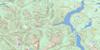
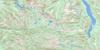
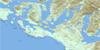
Comox Topo Map Online
Download Free Topo Map Sheet 092F10 at 1:50,000 scale
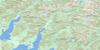
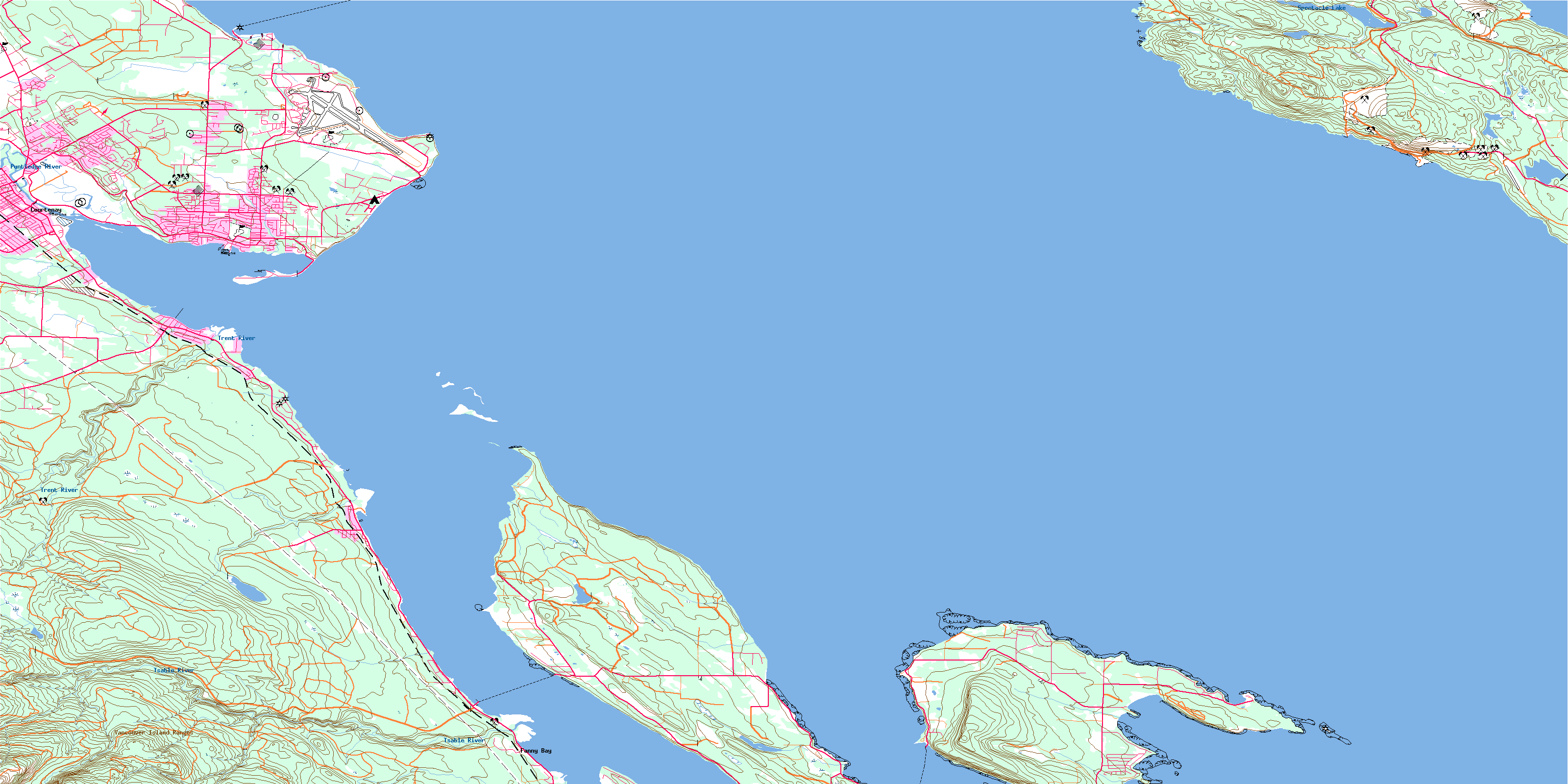
092F10 Comox Topo Map
To view this map, mouse over the map preview on the right.
You can also download this topo map for free:
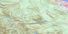
092F10 Comox high-resolution topo map image.
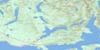
Maps for the Comox topo map sheet 092F10 at 1:50,000 scale are also available in these versions:
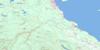
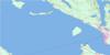
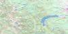
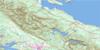
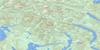
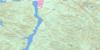
Comox Surrounding Area Topo Maps
 |
 |
 |
 |
 |
 |
 |
 |
 |
 |
 |
 |
 |
 |
 |
 |
© Department of Natural Resources Canada. All rights reserved.
Comox Gazetteer
The following places can be found on topographic map sheet 092F10 Comox:
Comox Topo Map: Bays
Beale CoveBuckley Bay
Comox Harbour
Davis Bay
Fanny Bay
Ford Cove
Henry Bay
Kye Bay
Little River Bay
Maple Bay
Spratt Bay
Tribune Bay
Union Bay
Welcome Bay
Whaling Station Bay
Comox Topo Map: Beaches
Little River BeachSandpiper Beach
Comox Topo Map: Capes
Butterfly PointCape Gurney
Cape Lazo
Collishaw Point
Denman Point
Downes Point
Dunlop Point
Favada Point
Gartley Point
Goose Spit
Longbeak Point
Manning Point
Phipps Point
Shields Point
Shingle Spit
Ship Peninsula
Ship Point
Spray Point
St. John Point
Tralee Point
Union Point
Whalebone Point
White Spit
Comox Topo Map: Channels
Baynes SoundLambert Channel
Malaspina Strait
Strait of Georgia
Comox Topo Map: City
CourtenayComox Topo Map: Cliffs
Komas BluffRiver Bluff
Robb Bluff
Willemar Bluff
Comox Topo Map: Geographical areas
Comox Land DistrictNanaimo Land District
Nelson Land District
Newcastle Land District
Texada Island Land District
Comox Topo Map: Indian Reserves
Comox Indian Reserve 1Goose Spit Indian Reserve 3
Pentledge Indian Reserve 2
Réserve indienne Comox 1
Réserve indienne Goose Spit 3
Réserve indienne Pentledge 2
Comox Topo Map: Islands
Denman IslandFlora Islet
Hornby Island
Île de Vancouver
Sandy Island
Seal Islets
Texada Island
Vancouver Island
Comox Topo Map: Lakes
Balkwill LakeBradley Lake
Case Lake
Chicadee Lake
Cranby Lake
Emily Lake
Graham Lake
Kirk Lake
Langley Lake
Myrtle Lake
Paxton Lake
Priest Lake
Spectacle Lake
Comox Topo Map: Military areas
Base des Forces canadiennes ComoxCanadian Forces Base Comox
Comox Topo Map: Mountains
Mount GeoffreyNob Hill
Surprise Mountain
Vancouver Island Mountains
Vancouver Island Ranges
Comox Topo Map: Major municipal/district area - major agglomerations
Comox Valley Regional DistrictPowell River Regional District
Regional District of Comox-Strathcona
Comox Topo Map: Conservation areas
Fillongley ParkHelliwell Park
Kin Beach Park
Sandy Island Marine Park
Sandy Island Park
Tribune Bay Park
Comox Topo Map: Plains
Base FlatComox Topo Map: Rivers
Beacon CreekBeaufort Creek
Beulah Creek
Bloedel Creek
Brooklyn Creek
Case Creek
Copeman Creek
Courtenay River
Cowie Creek
Fillongley Creek
Ford Creek
Glen Urquhart Creek
Hart Creek
Hindoo Creek
Lard Creek
Little George Creek
Little River
Millard Creek
Myrtle Creek
Piercy Creek
Puntledge River
Roy Creek
Rumbottle Creek
Spence Creek
Trent River
Tsable River
Tsolum River
Tumblewater Creek
Van Anda Creek
Vananda Creek
Comox Topo Map: Shoals
Achilles BankAjax Bank
Comox Bar
Exeter Shoal
Nash Bank
Palliser Rock
Savoie Rocks
Comox Topo Map: Towns
ComoxComox Topo Map: Unincorporated areas
Balmoral BeachBayton
Buckley Bay
Denman Island
Fanny Bay
Fanny Bay
Hornby Island
Hornby Island
Lazo
Little River
Marshall School Junction
Royston
Sandwick
Union Bay
© Department of Natural Resources Canada. All rights reserved.
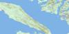
092F Related Maps:
092F Port Alberni092F01 Nanaimo Lakes
092F02 Alberni Inlet
092F03 Effingham River
092F04 Tofino
092F05 Bedwell River
092F06 Great Central Lake
092F07 Horne Lake
092F08 Parksville
092F09 Texada Island
092F10 Comox
092F11 Forbidden Plateau
092F12 Buttle Lake
092F13 Upper Campbell Lake
092F14 Oyster River
092F15 Powell River
092F16 Haslam Lake
