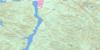
Buttle Lake Topo Map Online
Download Free Topo Map Sheet 092F12 at 1:50,000 scale
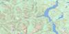
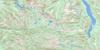
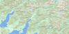
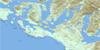
092F12 Buttle Lake Topo Map
To view this map, mouse over the map preview on the right.
You can also download this topo map for free:
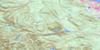
092F12 Buttle Lake high-resolution topo map image.
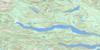
Maps for the Buttle Lake topo map sheet 092F12 at 1:50,000 scale are also available in these versions:
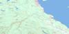
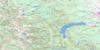
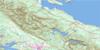
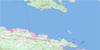
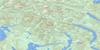
Buttle Lake Surrounding Area Topo Maps
 |
 |
 |
 |
 |
 |
 |
 |
 |
 |
 |
 |
 |
 |
 |
 |
© Department of Natural Resources Canada. All rights reserved.
Buttle Lake Gazetteer
The following places can be found on topographic map sheet 092F12 Buttle Lake:
Buttle Lake Topo Map: Falls
Myra FallsButtle Lake Topo Map: Islands
Île de VancouverVancouver Island
Buttle Lake Topo Map: Lakes
Arnica LakeBurman Lake
Buttle Lake
Carter Lake
Carwithen Lake
Copper Bush Lake
Crystal Lake
Donner Lake
Emerald Lake
Fairbairn Lake
Globe Flower Lake
Greenview Lake
Greig Lake
Harvey Lake
Hellebore Lake
Hutton Lake
Jim Mitchell Lake
Kunlin Lake
Limestone Lake
Marblerock Lake
Marsh Marigold Lake
McIntyre Lake
McNish Lake
Owen Lake
Rowbotham Lake
Schjelderup Lake
Tennent Lake
Thelwood Lake
Upper Thelwood Lake
Wheaton Lake
Buttle Lake Topo Map: Mountains
El Piveto MountainFlower Ridge
Golden Hinde
Greig Ridge
Marble Peak
Matchlee Mountain
Mount Burman
Mount Colonel Foster
Mount Con Reid
Mount DeVoe
Mount Donner
Mount Kent
Mount Kent-Urquhart
Mount McBride
Mount Myra
Mount Phillips
Mount Thelwood
Mount Urquhart
Moyeha Mountain
Ms. Mountain
Phillips Ridge
Popsicle Peak
Rambler Peak
Splendor Mountain
The Behinde
Vancouver Island Mountains
Vancouver Island Ranges
Buttle Lake Topo Map: Major municipal/district area - major agglomerations
Regional District of Alberni-ClayoquotButtle Lake Topo Map: Conservation areas
Strathcona ParkStrathcona Recreation Area
Strathcona-Myra Park
Strathcona-Westmin Park
Buttle Lake Topo Map: Rivers
Arnica CreekBancroft Creek
Burman River
Carwithen Creek
Cervus Creek
East Tennent Creek
Elk River
Greig Creek
Henshaw Creek
Karst Creek
Kowus Creek
Marble Creek
Marblerock Creek
Matchlee Creek
Megin River
Mitla Creek
Moyeha River
Myra Creek
Pamela Creek
Phillips Creek
Price Creek
Quatchka Creek
Ralph River
Shepherd Creek
Tennent Creek
Thelwood Creek
Ucona River
Wolf River
Buttle Lake Topo Map: Low vegetation
Marble Meadows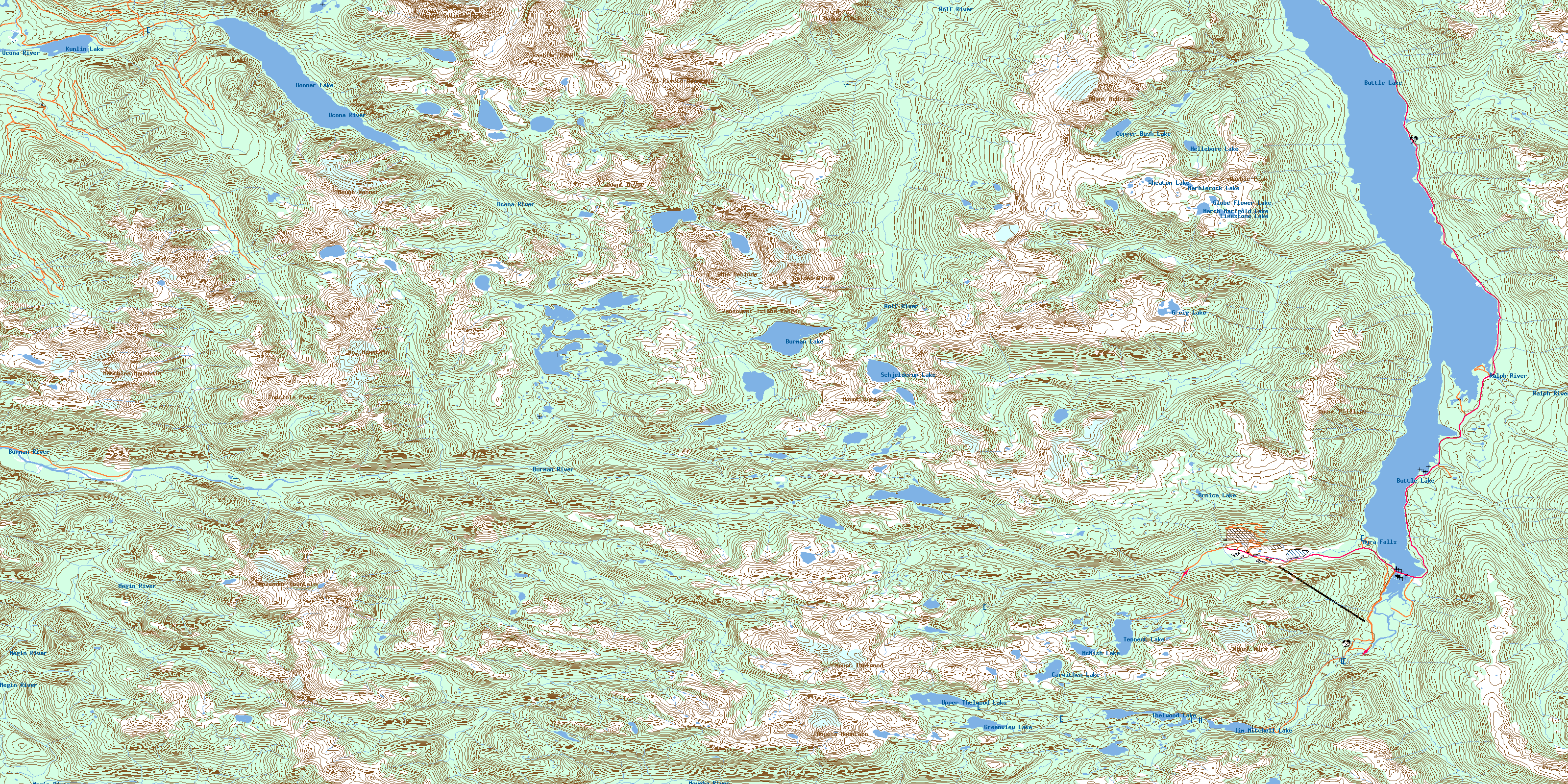
© Department of Natural Resources Canada. All rights reserved.
092F Related Maps:
092F Port Alberni092F01 Nanaimo Lakes
092F02 Alberni Inlet
092F03 Effingham River
092F04 Tofino
092F05 Bedwell River
092F06 Great Central Lake
092F07 Horne Lake
092F08 Parksville
092F09 Texada Island
092F10 Comox
092F11 Forbidden Plateau
092F12 Buttle Lake
092F13 Upper Campbell Lake
092F14 Oyster River
092F15 Powell River
092F16 Haslam Lake
