Mount Urquhart Topo Map Online
Download Free Topo Map Sheet 092H12 at 1:50,000 scale
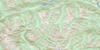
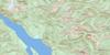
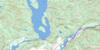
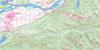
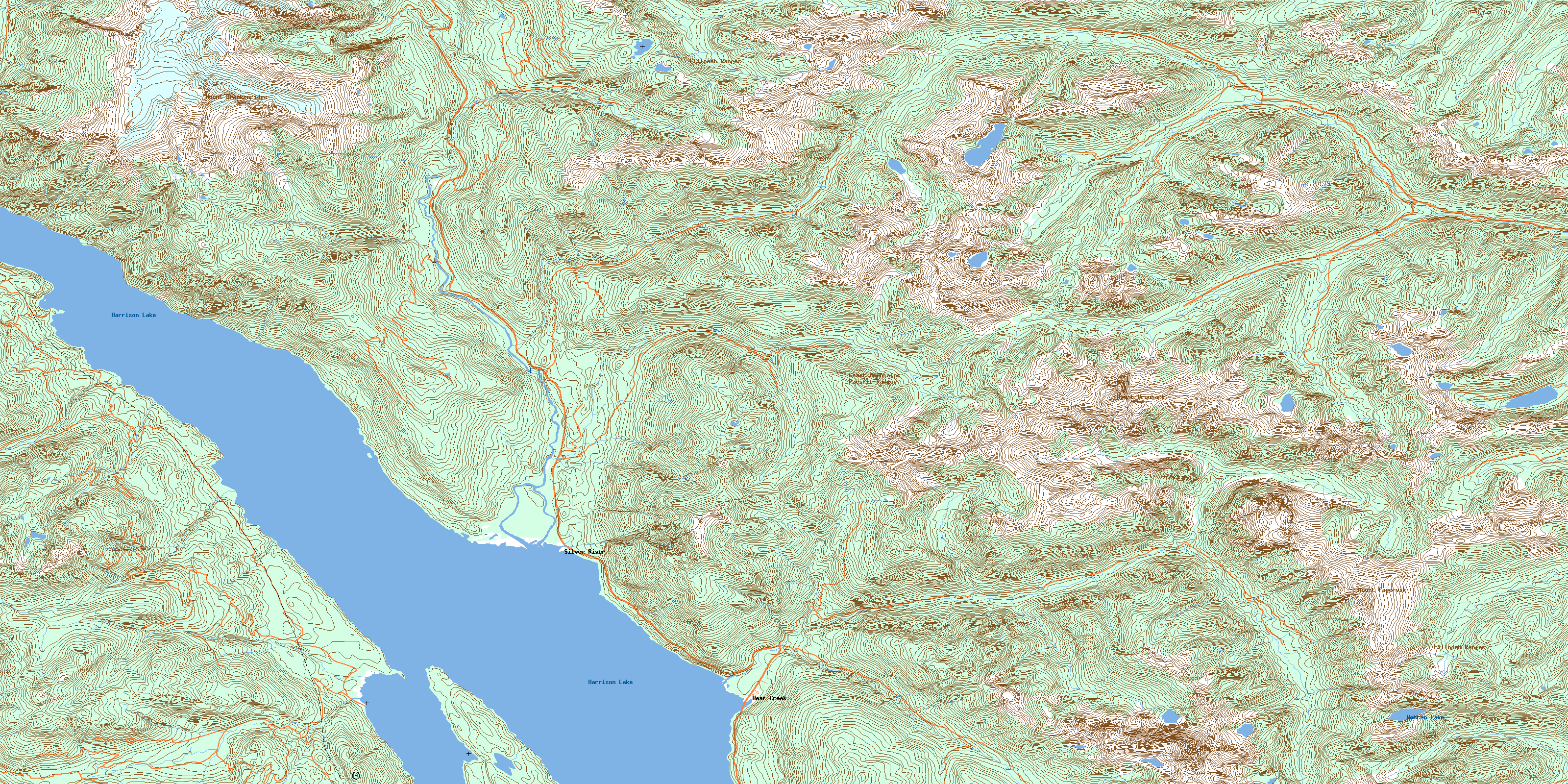
092H12 Mount Urquhart Topo Map
To view this map, mouse over the map preview on the right.
You can also download this topo map for free:
092H12 Mount Urquhart high-resolution topo map image.
Maps for the Mount Urquhart topo map sheet 092H12 at 1:50,000 scale are also available in these versions:
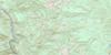
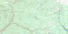
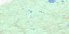
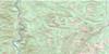
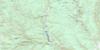
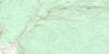
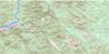
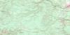
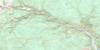
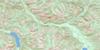
Mount Urquhart Surrounding Area Topo Maps
 |
 |
 |
 |
 |
 |
 |
 |
 |
 |
 |
 |
 |
 |
 |
 |
© Department of Natural Resources Canada. All rights reserved.
Mount Urquhart Gazetteer
The following places can be found on topographic map sheet 092H12 Mount Urquhart:
Mount Urquhart Topo Map: Bays
Doctors BayEast Bay
Snug Cove
Timberman Cove
Westwood Bay
Mount Urquhart Topo Map: Capes
Doctors PointMolly Hogan Point
Mount Urquhart Topo Map: Channels
Towboat StraitMount Urquhart Topo Map: Geographical areas
New Westminster Land DistrictYale Division Yale Land District
Mount Urquhart Topo Map: Islands
Doctors IslandLong Island
Mount Urquhart Topo Map: Lakes
Harrison LakeInkawthia Lake
Lookout Lake
Wotten Lake
Mount Urquhart Topo Map: Mountains
Chaîne CôtièreCoast Mountains
Lillooet Range
Lillooet Ranges
Mount Breakenridge
Mount Fagervik
Mount Urquhart
Pacific Ranges
The Old Settler
Mount Urquhart Topo Map: Major municipal/district area - major agglomerations
Fraser Valley Regional DistrictRegional District of Fraser-Cheam
Mount Urquhart Topo Map: Rivers
Big Silver CreekClear Creek
Cogburn Creek
Davidson Creek
Gordon Creek
Hornet Creek
Inkawthia Creek
Kirkland Creek
Mystery Creek
Sawmill Creek
Settler Creek
Snowshoe Creek
Spuzzum Creek
Talc Creek
Trio Creek
Tsileuh Creek
Twenty Mile Creek
Urquhart Creek
Yale Creek
Mount Urquhart Topo Map: Shoals
Vedder RockMount Urquhart Topo Map: Unincorporated areas
Bear CreekSilver River
© Department of Natural Resources Canada. All rights reserved.
092H Related Maps:
092H Hope092H01 Ashnola River
092H02 Manning Park
092H03 Skagit River
092H04 Chilliwack
092H05 Harrison Lake
092H06 Hope
092H07 Princeton
092H08 Hedley
092H09 Bankeir
092H10 Tulameen
092H11 Spuzzum
092H12 Mount Urquhart
092H13 Scuzzy Mountain
092H14 Boston Bar
092H15 Aspen Grove
092H16 Paradise Lake
