Alice Lake Topo Map Online
Download Free Topo Map Sheet 092L06 at 1:50,000 scale
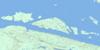
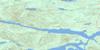
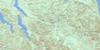
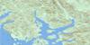
092L06 Alice Lake Topo Map
To view this map, mouse over the map preview on the right.
You can also download this topo map for free:
092L06 Alice Lake high-resolution topo map image.
Maps for the Alice Lake topo map sheet 092L06 at 1:50,000 scale are also available in these versions:
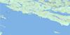
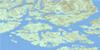
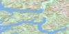
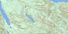
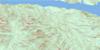
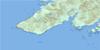
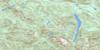
Alice Lake Surrounding Area Topo Maps
 |
 |
 |
 |
 |
 |
 |
 |
 |
 |
 |
 |
 |
 |
 |
 |
© Department of Natural Resources Canada. All rights reserved.
Alice Lake Gazetteer
The following places can be found on topographic map sheet 092L06 Alice Lake:
Alice Lake Topo Map: Bays
Neroutsos InletThurburn Bay
Alice Lake Topo Map: Capes
Ker PointAlice Lake Topo Map: Geographical areas
Rupert Land DistrictAlice Lake Topo Map: Indian Reserves
Cayilth Indian Reserve 5Cayuse Indian Reserve 6
Réserve indienne Cayilth 5
Réserve indienne Cayuse 6
Réserve indienne Teeta 7
Teeta Indian Reserve 7
Alice Lake Topo Map: Islands
Frigon IsletsKetchen Island
Alice Lake Topo Map: Lakes
Alice LakeAngler Lake
Benson Lake
Cross Lake
Iron Lake
Kathleen Lake
Keogh Lake
Lac Truite
Maynard Lake
Newt Lake
Nimpkish Lake
Tahsish Lake
Three Isle Lake
Victoria Lake
Alice Lake Topo Map: Mountains
Castle MountainKarmutsen Range
Karmutzen Mountain
Karmutzen Range
Merry Widow Mountain
Tlakwa Mountain
Vancouver Island Mountains
Vancouver Island Ranges
Alice Lake Topo Map: Major municipal/district area - major agglomerations
Regional District of Mount WaddingtonAlice Lake Topo Map: Rivers
Benson RiverBlue Ox Creek
Cayeghle Creek
Cayuse Creek
Cluxewe River
Colonial Creek
Craft Creek
Howlal Creek
Jakonaal Creek
Jeune Creek
Karmutsen Creek
Karmutzen Creek
Kashutl River
Kauwinch River
Kauwinch River
Keogh River
Kilpala River
Kwois Creek
Lippy Creek
Malook Creek
Marble River
Merry Widow Creek
Neeta Creek
Nequiltpaalis Creek
Ououkinsh River
Oyeyelinne Creek
Pinch Creek
Raging River
Rainier Creek
Sorenson Creek
Tahsish River
Teihsum River
Three Lakes Creek
Tlakwa Creek
Utluh Creek
Wady Creek
Waukwaas Creek
Yoo Took Creek
Yootook Creek
Alice Lake Topo Map: Shoals
Mist RockMuir Rocks
Alice Lake Topo Map: Unincorporated areas
Benson LakeJeune Landing
Rumble Beach
Alice Lake Topo Map: Villages
Port Alice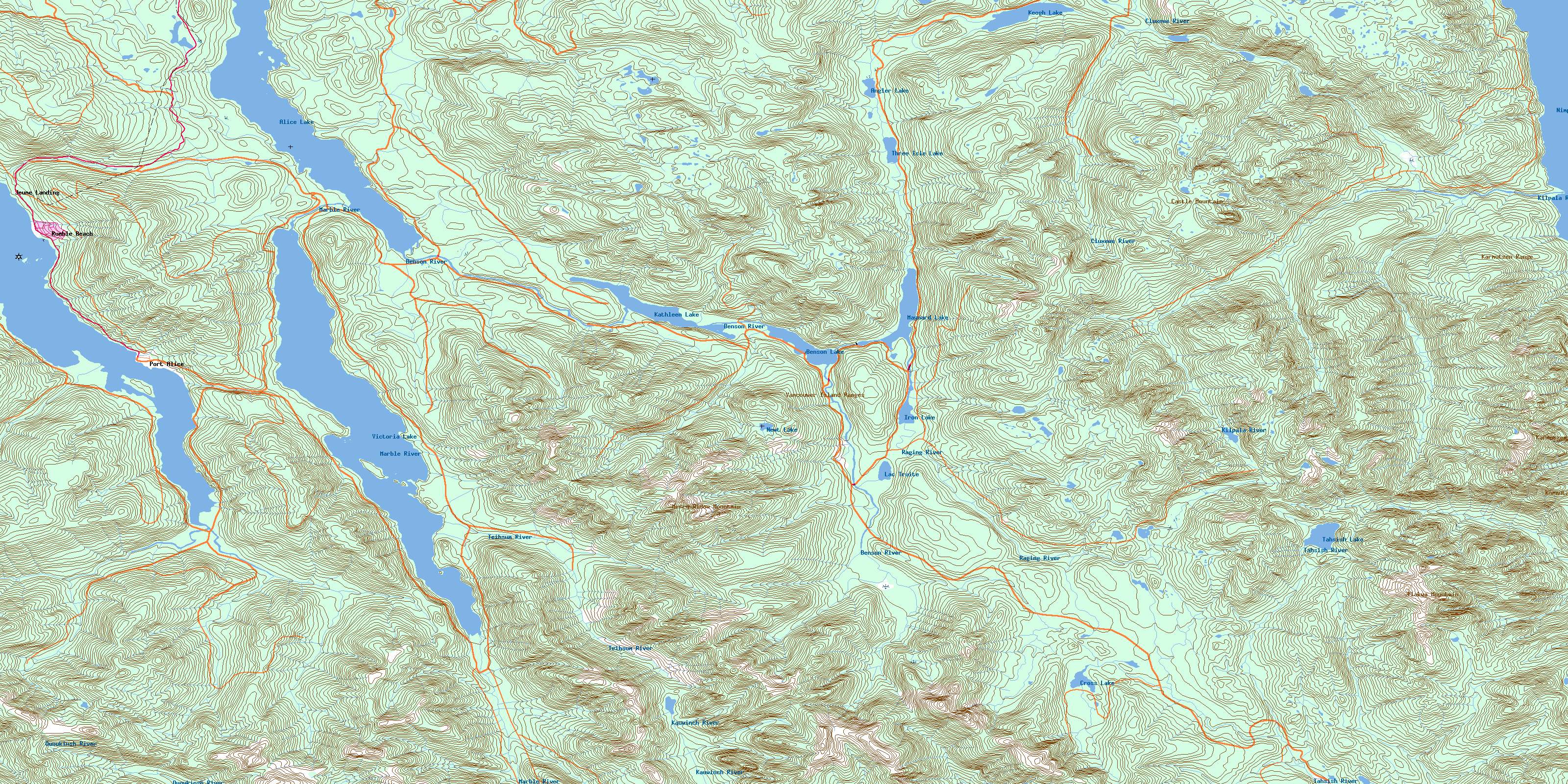
© Department of Natural Resources Canada. All rights reserved.
092L Related Maps:
092L Alert Bay092L01 Schoen Lake
092L02 Woss Lake
092L03 Kyuquot
092L04 Brooks Peninsula
092L05 Mahatta Creek
092L06 Alice Lake
092L07 Nimpkish
092L08 Adam River
092L09 Minstrel Island
092L10 Alert Bay
092L11 Port Mcneill
092L12 Quatsino
092L13 Shushartie
092L14 Bradley Lagoon
092L15 Broughton Island
092L16 Kingcome Inlet
