Nimpkish Topo Map Online
Download Free Topo Map Sheet 092L07 at 1:50,000 scale
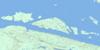
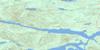
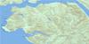
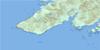
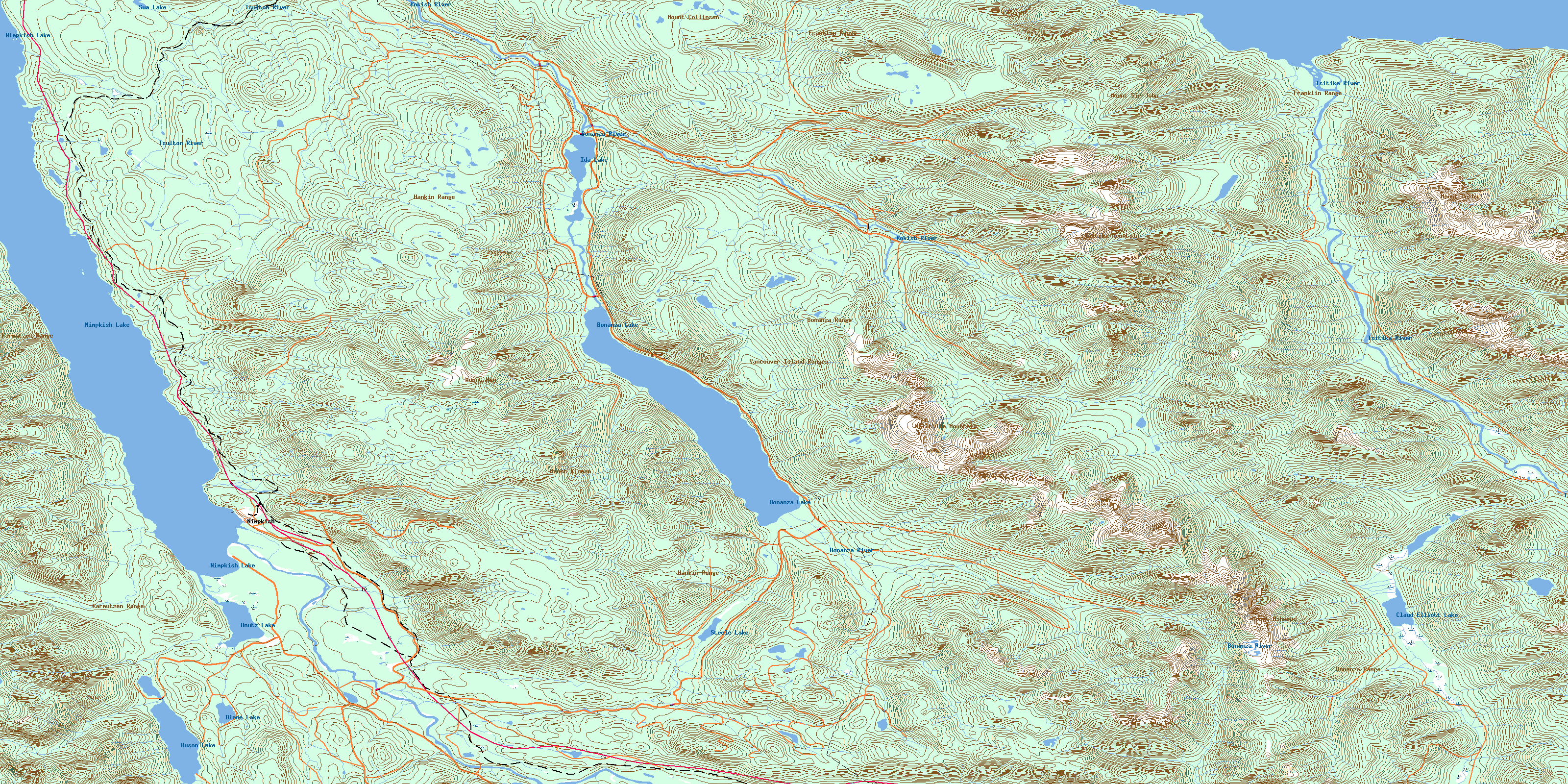
092L07 Nimpkish Topo Map
To view this map, mouse over the map preview on the right.
You can also download this topo map for free:
092L07 Nimpkish high-resolution topo map image.
Maps for the Nimpkish topo map sheet 092L07 at 1:50,000 scale are also available in these versions:
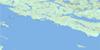
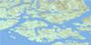
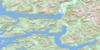
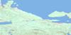
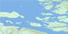
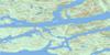
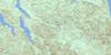
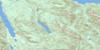
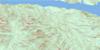
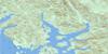
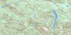
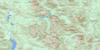
Nimpkish Surrounding Area Topo Maps
 |
 |
 |
 |
 |
 |
 |
 |
 |
 |
 |
 |
 |
 |
 |
 |
© Department of Natural Resources Canada. All rights reserved.
Nimpkish Gazetteer
The following places can be found on topographic map sheet 092L07 Nimpkish:
Nimpkish Topo Map: Bays
Robson BightNimpkish Topo Map: Channels
Broughton StraitJohnstone Strait
Nimpkish Topo Map: Islands
Halfway IslandsNimpkish Topo Map: Lakes
Anutz LakeBonanza Lake
Claud Elliott Lake
Diane Lake
Fickle Lake
Huson Lake
Hustan Lake
Ida Lake
Mudge Lake
Nimpkish Lake
Steele Lake
Sua Lake
Tsitika Lake
Warm Lake
Nimpkish Topo Map: Mountains
Bonanza RangeFranklin Range
Hankin Range
Karmutsen Range
Karmutzen Range
Mount Ashwood
Mount Collinson
Mount Derby
Mount Hoy
Mount Kinman
Mount Sir John
Tsitika Mountain
Vancouver Island Mountains
Vancouver Island Ranges
Whiltilla Mountain
Nimpkish Topo Map: Major municipal/district area - major agglomerations
Regional District of Comox-StrathconaRegional District of Mount Waddington
Nimpkish Topo Map: Conservation areas
Claud Elliott Lake ParkLower Tsitika River Park
Nimpkish Lake Park
Robson Bight (Michael Bigg) Park
Nimpkish Topo Map: Rivers
Adriana CreekAtluck Creek
Bonanza River
Catherine Creek
Claud Elliott Creek
Kaikash Creek
Kaipit Creek
Kilpala River
Kinman Creek
Kokish River
Lukwa Creek
Mukwilla Creek
Nimpkish River
Noomas Creek
Robson Creek
Schmidt Creek
Sir John Creek
Steele Creek
Storey Creek
Sua Creek
Teisum Creek
Tlakwa Creek
Tsiko Creek
Tsitika River
Tsitkwa River
Tsulton River
Woodengl Creek
Woodengle Creek
Nimpkish Topo Map: Unincorporated areas
NimpkishNimpkish Camp
© Department of Natural Resources Canada. All rights reserved.
092L Related Maps:
092L Alert Bay092L01 Schoen Lake
092L02 Woss Lake
092L03 Kyuquot
092L04 Brooks Peninsula
092L05 Mahatta Creek
092L06 Alice Lake
092L07 Nimpkish
092L08 Adam River
092L09 Minstrel Island
092L10 Alert Bay
092L11 Port Mcneill
092L12 Quatsino
092L13 Shushartie
092L14 Bradley Lagoon
092L15 Broughton Island
092L16 Kingcome Inlet
