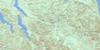
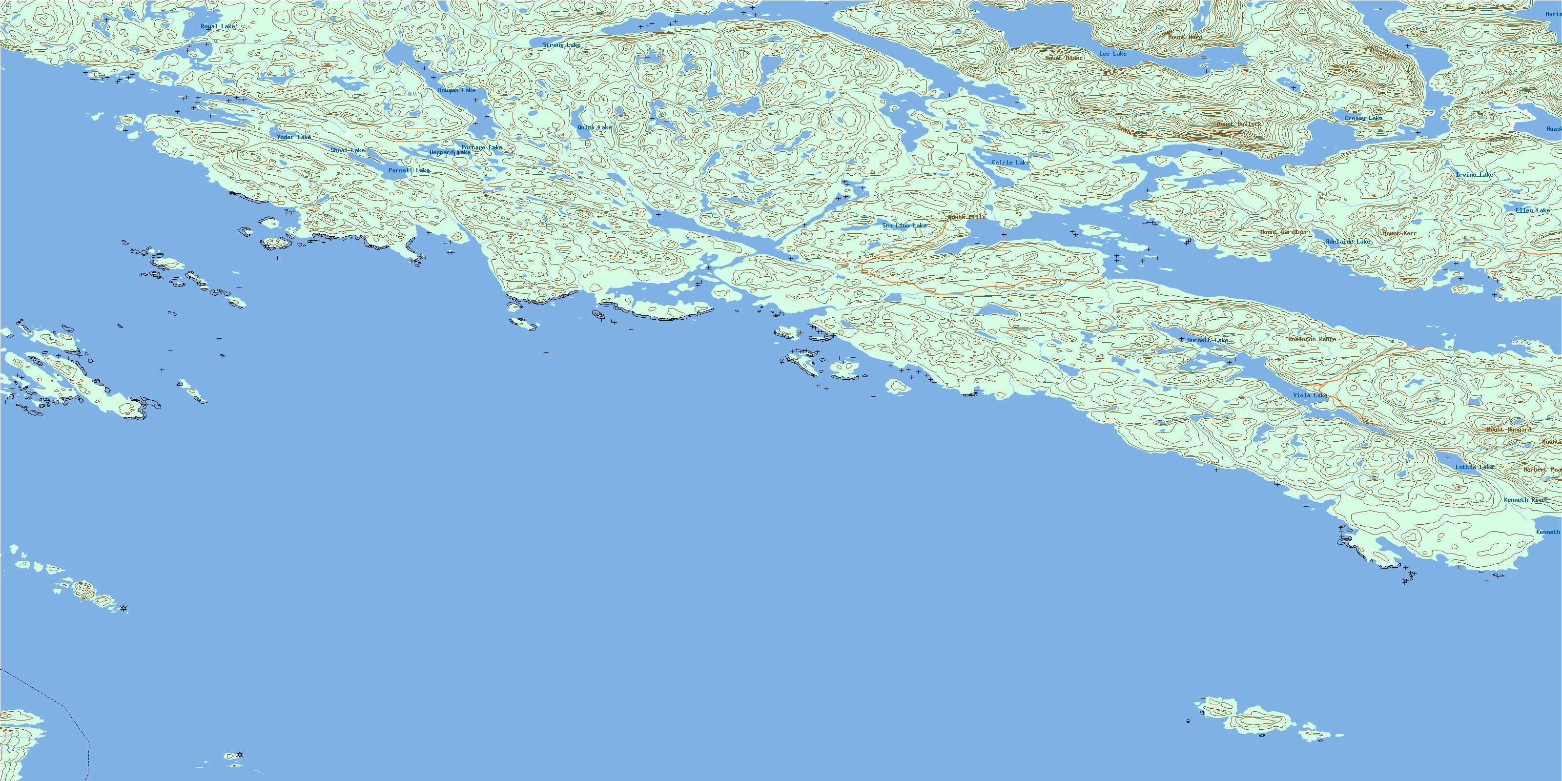
Bradley Lagoon Topo Map Online
Download Free Topo Map Sheet 092L14 at 1:50,000 scale
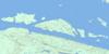
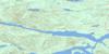
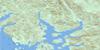
092L14 Bradley Lagoon Topo Map
To view this map, mouse over the map preview on the right.
You can also download this topo map for free:
092L14 Bradley Lagoon high-resolution topo map image.
Maps for the Bradley Lagoon topo map sheet 092L14 at 1:50,000 scale are also available in these versions:
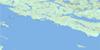
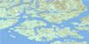
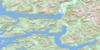
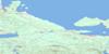
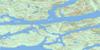
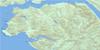
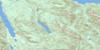
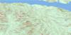
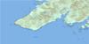
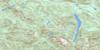
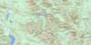
Bradley Lagoon Surrounding Area Topo Maps
 |
 |
 |
 |
 |
 |
 |
 |
 |
 |
 |
 |
 |
 |
 |
 |
© Department of Natural Resources Canada. All rights reserved.
Bradley Lagoon Gazetteer
The following places can be found on topographic map sheet 092L14 Bradley Lagoon:
Bradley Lagoon Topo Map: Bays
Actaeon SoundBlunden Harbour
Cohoe Bay
Collinson Bay
Creasy Bay
Davis Bay
Deer Cove
Drury Inlet
Hand Bay
Jennis Bay
Kenneth Bay
Lewis Cove
Macgowan Bay
Marsh Bay
Shelter Bay
Skeene Bay
Sutherland Bay
Tancred Bay
Bradley Lagoon Topo Map: Capes
Akam PointAylmer Point
Bartlett Point
Bedwell Point
Blackney Point
Bond Peninsula
Boone Point
Boyles Point
Brandon Point
Byron Point
Castle Point
Charlotte Point
Charters Point
Cunningham Point
Duval Point
Edgell Point
England Point
Howcraft Point
O'Keefe Point
Shelf Head
Shelf Point
Shuckburgh Point
Skeene Point
Stuart Point
Taylor Point
Tomlinson Point
Westcott Point
Bradley Lagoon Topo Map: Channels
Actress PassageGoletas Channel
Labouchere Passage
Queen Charlotte Strait
Richards Channel
Ripple Passage
Bradley Lagoon Topo Map: Indian Reserves
Dove Island Indian Reserve 12Gleyka Indian Reserve 6
Kwetahkis Indian Reserve 9
Mahpahkum Indian Reserve 4
Pahas Indian Reserve 3
Réserve indienne Dove Island 12
Réserve indienne Gleyka 6
Réserve indienne Kwetahkis 9
Réserve indienne Mahpahkum 4
Réserve indienne Pahas 3
Bradley Lagoon Topo Map: Islands
Augustine IslandsBarry Islet
Browning Islands
Burgess Island
Byrnes Island
Davis Islet
Deserters Group
Deserters Island
Dove Island
Doyle Island
Duval Island
Echo Islands
Edgell Island
Everard Islands
Everard Islets
Frost Islands
Ghost Island
Gordon Group
Gordon Islands
Grave Island
Grave Islet
Gregory Island
Gregory Islet
Hooper Island
Jeannette Islands
Jenkins Islet
Jula Island
Keith Islet
Keith Islets
Masterman Islands
McLeod Island
Millar Group
Muirhead Islands
Nankivell Islands
Numas Islands
Raynor Group
Richard Islets
Robertson Island
Robinson Island
Snell Islet
Staples Islet
Staples Islets
Twin Islands
Vancouver Island
Wallace Islands
Wilson Island
Wishart Island
Bradley Lagoon Topo Map: Lakes
Adelaide LakeBamford Lagoon
Bond Lagoon
Bowman Lake
Bradley Lagoon
Burnett Lake
Cairie Lake
Creasy Lake
Despard Lake
Ellen Lake
Huaskin Lake
Irvine Lake
Lee Lake
Lottie Lake
Lower Lagoon
Marion Lake
McKinnon Lagoon
Nenahlmai Lagoon
Parnell Lake
Portage Lake
Quick Lake
Royal Lake
Sea Lion Lake
Shoal Lake
Strong Lake
Tsibass Lagoon
Upper Lagoon
Viola Lake
Whelakis Lagoon
Yoder Lake
Bradley Lagoon Topo Map: Mountains
Amies HillAylen Hill
Coast Hill
Coast Mountains
Farmer Hill
Herbert Peak
Leading Hill
Miles Cone
Mount Adams
Mount Amies
Mount Bullock
Mount Ellis
Mount Gardiner
Mount Hulme
Mount Kerr
Mount Russell
Mount Ward
Mount Wynyard
Pacific Ranges
Robinson Range
Russell Hill
Silverlock Hills
Bradley Lagoon Topo Map: Major municipal/district area - major agglomerations
Regional District of Mount WaddingtonBradley Lagoon Topo Map: Rivers
Cohoe CreekKenneth River
Bradley Lagoon Topo Map: Shoals
Annie RocksBarren Rock
Blount Rock
Brandon Rock
Centre Rock
David Rock
Echo Rock
Ellinor Rock
Gillot Rock
Lewis Rocks
Mary Rock
Moore Rock
Morgan Shoal
Siwiti Rock
Stuart Rock
Taylor Bank
Willoughby Rocks
© Department of Natural Resources Canada. All rights reserved.
092L Related Maps:
092L Alert Bay092L01 Schoen Lake
092L02 Woss Lake
092L03 Kyuquot
092L04 Brooks Peninsula
092L05 Mahatta Creek
092L06 Alice Lake
092L07 Nimpkish
092L08 Adam River
092L09 Minstrel Island
092L10 Alert Bay
092L11 Port Mcneill
092L12 Quatsino
092L13 Shushartie
092L14 Bradley Lagoon
092L15 Broughton Island
092L16 Kingcome Inlet
