Belize Inlet Topo Map Online
Download Free Topo Map Sheet 092M03 at 1:50,000 scale
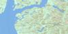
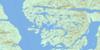
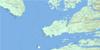
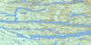
092M03 Belize Inlet Topo Map
To view this map, mouse over the map preview on the right.
You can also download this topo map for free:
092M03 Belize Inlet high-resolution topo map image.
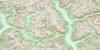
Maps for the Belize Inlet topo map sheet 092M03 at 1:50,000 scale are also available in these versions:
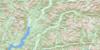
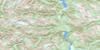
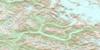
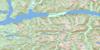
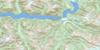
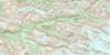
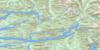
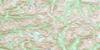
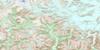
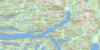
Belize Inlet Surrounding Area Topo Maps
 |
 |
 |
 |
 |
 |
 |
 |
 |
 |
 |
 |
 |
 |
 |
 |
© Department of Natural Resources Canada. All rights reserved.
Belize Inlet Gazetteer
The following places can be found on topographic map sheet 092M03 Belize Inlet:
Belize Inlet Topo Map: Bays
Alison SoundAllison Harbour
Belize Inlet
Charlotte Bay
Chief Nollis Bay
Cougar Inlet
Ellis Bay
Frederick Bay
Henry Bay
McTaggart Bay
Peet Bay
Seymour Inlet
Strachan Bay
Summers Bay
Village Cove
Warner Bay
Wawatle Bay
Westerman Bay
Belize Inlet Topo Map: Capes
Charles PointEvans Point
Harriet Point
Harvell Point
Henry Point
Hibbard Point
Holmes Point
Isabella Point
Mensdorff Point
Nea Point
Nugent Point
Shaffer Point
White Point
Belize Inlet Topo Map: Channels
Mereworth SoundNugent Sound
Belize Inlet Topo Map: Cliffs
Stripe BluffBelize Inlet Topo Map: Indian Reserves
Kai-too-kwis Indian Reserve 15Kequesta Indian Reserve 1
Ko-kwi-iss Indian Reserve 14
Na-kwockto Indian Reserve 2
Réserve indienne Kai-too-kwis 15
Réserve indienne Kequesta 1
Réserve indienne Ko-kwi-iss 14
Réserve indienne Na-kwockto 2
Réserve indienne Toksee 4
Réserve indienne Tsai-kwi-ee 13
Toksee Indian Reserve 4
Tsai-kwi-ee Indian Reserve 13
Belize Inlet Topo Map: Islands
Green IslandHarvell Islet
Holmes Islets
Rock Island
Twin Islands
Belize Inlet Topo Map: Lakes
Boydell LakeClifford Lake
Driftwood Lake
Eva Lake
Harper Lake
Hazel Lake
Hibbard Lake
Long Lake
Marion Lake
McKinnon Lagoon
Pack Lake
Parson Lake
Parsons Lake
Schwartzenberg Lagoon
Tiny Lake
Trevor Lake
Triangle Lake
Tsibass Lagoon
Woods Lagoon
Wyclees Lagoon
Belize Inlet Topo Map: Mountains
Baker RangeChaîne Côtière
Coast Mountains
Conical Range
Florence Range
Fraser Range
Lewis Range
Mount Annesley
Nicholl Range
Pacific Ranges
Silverlock Hills
Tottenham Range
Belize Inlet Topo Map: Major municipal/district area - major agglomerations
Central Coast Regional DistrictRegional District of Mount Waddington
Belize Inlet Topo Map: Rivers
Driftwood CreekEva Creek
Hibbard Creek
Nugent Creek
Parson Creek
Belize Inlet Topo Map: Unincorporated areas
Warner Bay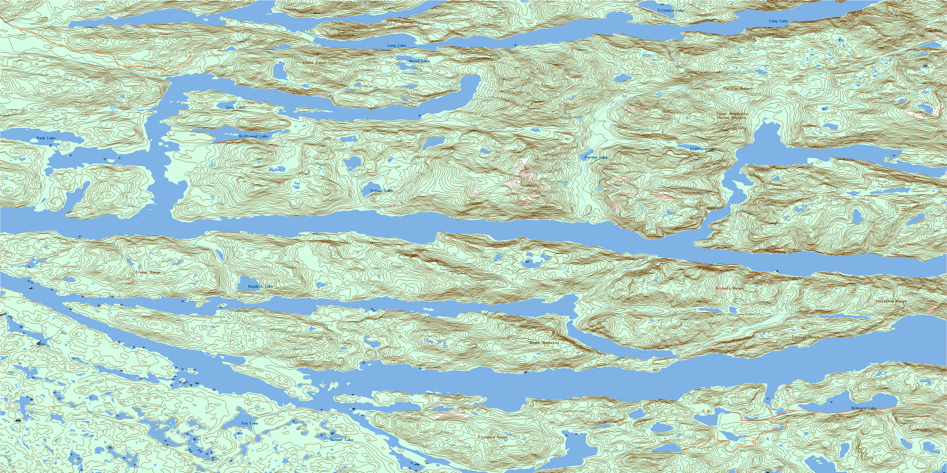
© Department of Natural Resources Canada. All rights reserved.
092M Related Maps:
092M Rivers Inlet092M01 Atwaykellesse River
092M02 Seymour Inlet
092M03 Belize Inlet
092M04 Cape Caution
092M05 Goose Bay
092M06 Smith Inlet
092M07 Mount Philley
092M08 Catto Creek
092M09 Machmell River
092M10 Owikeno Lake
092M11 Rivers Inlet
092M12 Fish Egg Inlet
092M13 Namu
092M14 Kilbella River
092M15 Tzeo River
092M16 Sheemahant River
