Alkali Lake Topo Map Online
Download Free Topo Map Sheet 092O16 at 1:50,000 scale
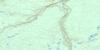
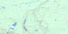
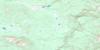
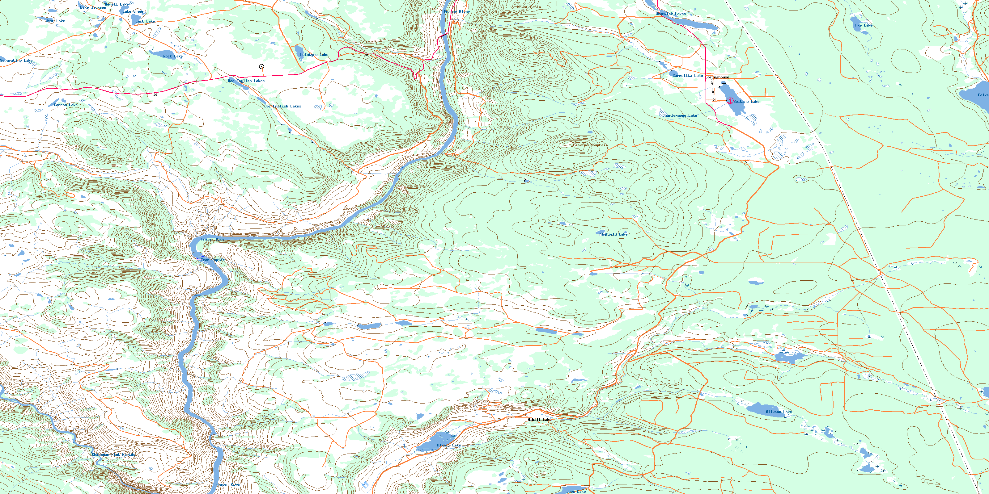
092O16 Alkali Lake Topo Map
To view this map, mouse over the map preview on the right.
You can also download this topo map for free:
092O16 Alkali Lake high-resolution topo map image.
Maps for the Alkali Lake topo map sheet 092O16 at 1:50,000 scale are also available in these versions:
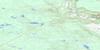
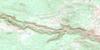
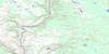
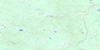
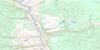
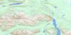
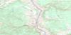
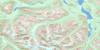
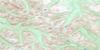
Alkali Lake Surrounding Area Topo Maps
 |
 |
 |
 |
 |
 |
 |
 |
 |
 |
 |
 |
 |
 |
 |
 |
© Department of Natural Resources Canada. All rights reserved.
Alkali Lake Gazetteer
The following places can be found on topographic map sheet 092O16 Alkali Lake:
Alkali Lake Topo Map: Indian Reserves
Alixton Indian Reserve 5Alkali Lake Indian Reserve 1
Alkali Lake Indian Reserve 4A
Cludolicum Indian Reserve 9
Cludolicum Indian Reserve 9A
Isadore Harry Indian Reserve 12
Johny Sticks Indian Reserve 2
Little Springs Indian Reserve 18
Little Springs Indian Reserve 8
Pete Suckers Indian Reserve 13
Réserve indienne Alixton 5
Réserve indienne Alkali Lake 1
Réserve indienne Alkali Lake 4A
Réserve indienne Cludolicum 9
Réserve indienne Cludolicum 9A
Réserve indienne Isadore Harry 12
Réserve indienne Johny Sticks 2
Réserve indienne Little Springs 18
Réserve indienne Little Springs 8
Réserve indienne Pete Suckers 13
Réserve indienne Roper's Meadow 14
Réserve indienne Sampson's Meadow 11
Réserve indienne Sampson's Meadow 11A
Réserve indienne Sandy Harry 4
Réserve indienne Swan Lake 3
Réserve indienne Toosey 1
Réserve indienne Toosey 1A
Réserve indienne Toosey 3
Roper's Meadow Indian Reserve 14
Sampson's Meadow Indian Reserve 11
Sampson's Meadow Indian Reserve 11A
Sandy Harry Indian Reserve 4
Swan Lake Indian Reserve 3
Toosey Indian Reserve 1
Toosey Indian Reserve 1A
Toosey Indian Reserve 3
Alkali Lake Topo Map: Lakes
Alixton LakeAlkali Lake
Axe Lake
Boitano Lake
Carmelita Lake
Charlemagne Lake
Cotton Lake
Dead Miners Lake
Doc English Lakes
East Lake
Felker Lake
Hanks Lake
Joes Lake
Lake Greer
Lake Jackson
Mayfield Lake
McIntyre Lake
Moons Lake
Newell Lake
Rock Lake
Separating Lake
Tom Hutch Lake
West Lake
Westwick Lake
Westwick Lakes
Alkali Lake Topo Map: Military areas
Champ de manoeuvre ChilcotinChilcotin Training Area
Alkali Lake Topo Map: Mountains
Ferguson RidgeMount Pablo
Peavine Mountain
Springhouse Hills
Alkali Lake Topo Map: Major municipal/district area - major agglomerations
Cariboo Regional DistrictAlkali Lake Topo Map: Conservation areas
Junction Sheep Range ParkAlkali Lake Topo Map: Plains
Chinaman FlatFraser Plateau
Interior Plateau
Alkali Lake Topo Map: Rapids
Chinaman Flat RapidsIron Rapids
Alkali Lake Topo Map: Rivers
Alixton CreekAlkali Creek
Cargile Creek
Charlemagne Creek
Chimney Creek
De Sous Creek
Dead Miners Creek
Fraser River
Frost Creek
Joes Creek
Kirkpatrick Creek
Moberly River
Patrick Creek
Porter Creek
Riske Creek
Rosa Creek
Sword Creek
Tom Hutch Creek
Alkali Lake Topo Map: Unincorporated areas
Alkali LakeSpringhouse
Alkali Lake Topo Map: Valleys
Doc English GulchHanceville Canyon
Ross Gulch
© Department of Natural Resources Canada. All rights reserved.
092O Related Maps:
092O Taseko Lakes092O01 Big Bar Creek
092O02 Noaxe Creek
092O03 Warner Pass
092O04 Tchaikazan River
092O05 Mount Tatlow
092O06 Anvil Mountain
092O07 Churn Creek
092O08 Empire Valley
092O09 Dog Creek
092O10 Mount Alex
092O11 Bambrick Creek
092O12 Elkin Creek
092O13 Scum Lake
092O14 Hanceville
092O15 Riske Creek
092O16 Alkali Lake
