Chantslar Lake Topo Map Online
Download Free Topo Map Sheet 093C02 at 1:50,000 scale
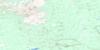
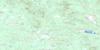
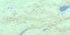
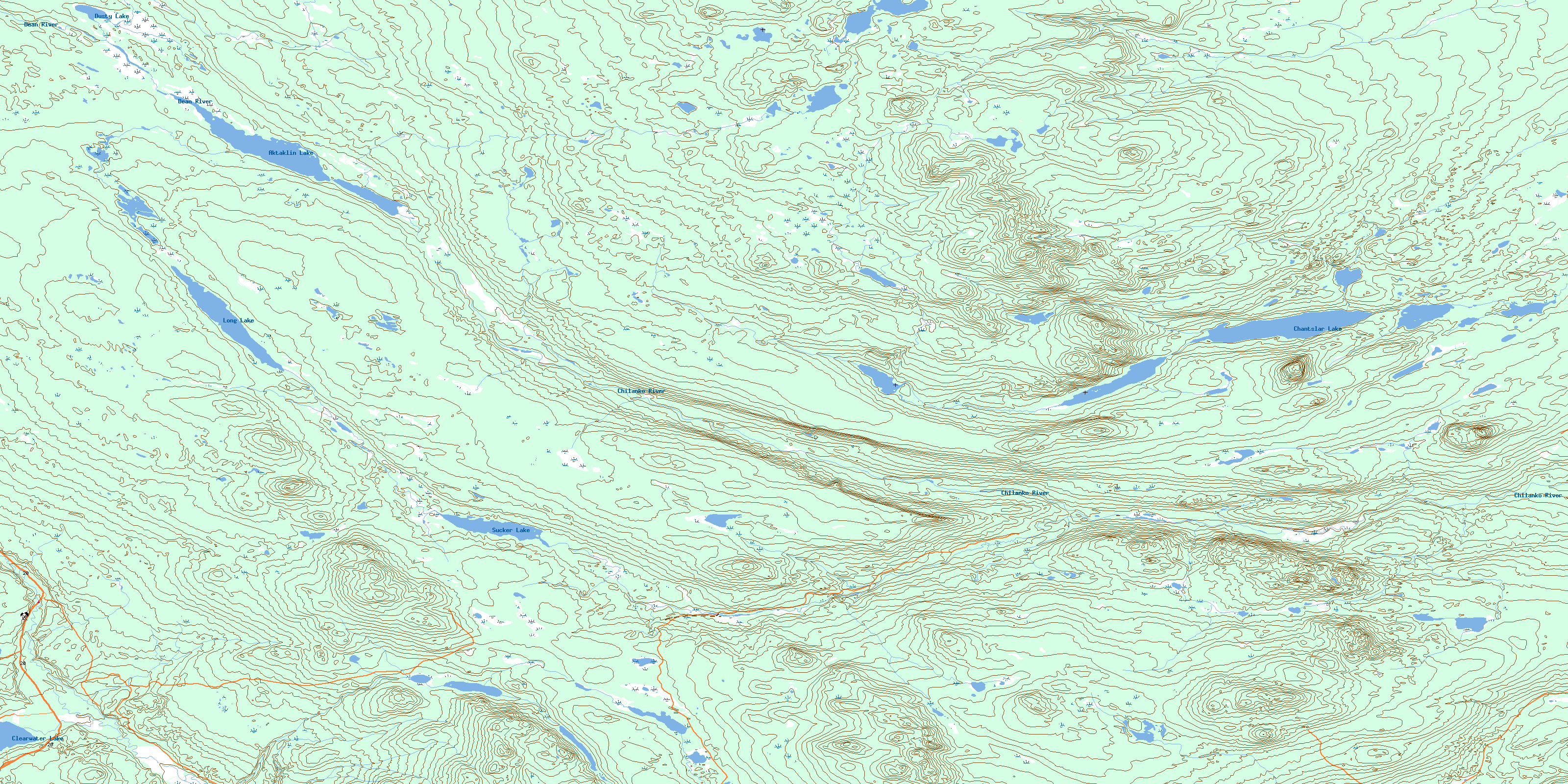
093C02 Chantslar Lake Topo Map
To view this map, mouse over the map preview on the right.
You can also download this topo map for free:
093C02 Chantslar Lake high-resolution topo map image.
Maps for the Chantslar Lake topo map sheet 093C02 at 1:50,000 scale are also available in these versions:
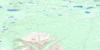
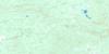
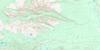
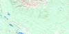
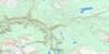
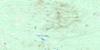
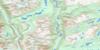
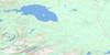
Chantslar Lake Surrounding Area Topo Maps
 |
 |
 |
 |
 |
 |
 |
 |
 |
 |
 |
 |
 |
 |
 |
 |
© Department of Natural Resources Canada. All rights reserved.
Chantslar Lake Gazetteer
The following places can be found on topographic map sheet 093C02 Chantslar Lake:
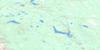
Chantslar Lake Topo Map: Lakes
Aktaklin LakeChantslar Lake
Clearwater Lake
Dick Lake
Dusty Lake
Long Lake
Sucker Lake
Chantslar Lake Topo Map: Major municipal/district area - major agglomerations
Cariboo Regional DistrictChantslar Lake Topo Map: Plains
Fraser PlateauInterior Plateau
Chantslar Lake Topo Map: Rivers
Chilanko RiverDean River
McClinchy Creek
Puntzi Creek
Sucker Creek
© Department of Natural Resources Canada. All rights reserved.
093C Related Maps:
093C Anahim Lake093C01 Chilanko Forks
093C02 Chantslar Lake
093C03 Charlotte Lake
093C04 Junker Lake
093C05 Atnarko
093C06 Anahim Lake
093C07 Satah Mountain
093C08 Chezacut
093C09 Clusko River
093C10 Downton Creek
093C11 Christensen Creek
093C12 Tusulko River
093C13 Ulkatcho
093C14 Carnlick Creek
093C15 Kushya River
093C16 Toil Mountain
