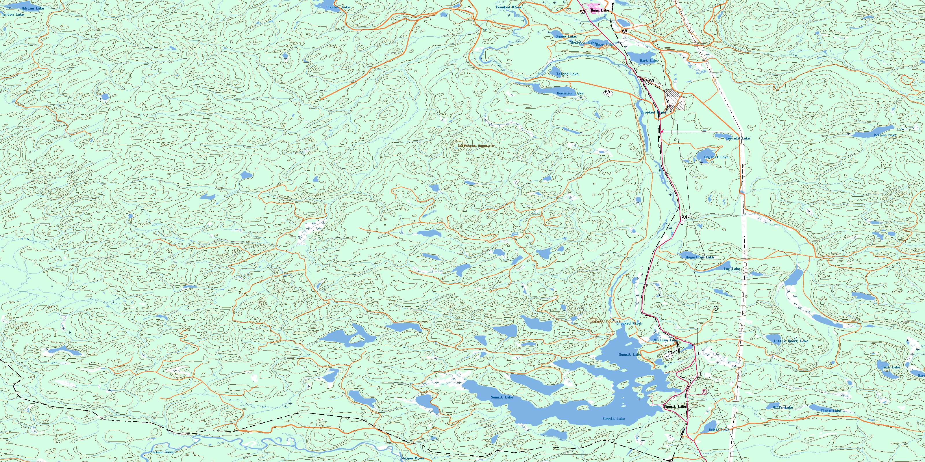
Summit Lake Topo Map Online
Download Free Topo Map Sheet 093J07 at 1:50,000 scale
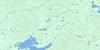
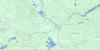
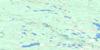
093J07 Summit Lake Topo Map
To view this map, mouse over the map preview on the right.
You can also download this topo map for free:
093J07 Summit Lake high-resolution topo map image.
Maps for the Summit Lake topo map sheet 093J07 at 1:50,000 scale are also available in these versions:
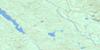
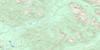
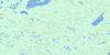
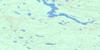
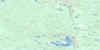
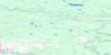
Summit Lake Surrounding Area Topo Maps
 |
 |
 |
 |
 |
 |
 |
 |
 |
 |
 |
 |
 |
 |
 |
 |
© Department of Natural Resources Canada. All rights reserved.
Summit Lake Gazetteer
The following places can be found on topographic map sheet 093J07 Summit Lake:
Summit Lake Topo Map: Islands
Campbell IslandCorning Island
Guest Island
Huble Island
Johnson Island
Livingston Island
Loon Island
MacArthur Island
Mosquito Island
Porter Island
Summit Lake Topo Map: Lakes
Adam LakeAdrian Lake
Alford Lake
Augustine Lake
Balsam Lake
Barney Lake
Bear Lake
Beaverdam Lake
Boot Lake
Bowman Slough
Caine Lake
Cloud Lake
Cottonwood Lakes
Crystal Lake
Dominion Lake
Duck Lake
Echo Lake
Elsie Lake
Emerald Lake
Enquist Lake
Erickson Lake
Ericson Lake
Fire Lake
Fisher Lake
Hand Lake
Hart Lake
Huble Lake
Indigo Lake
Island Lake
Jakes Lake
Kingfisher Lake
Lily Lake
Little Heart Lake
Log Lake
McEwan Lake
Merton Lake
Neilsen Lake
Neilson Lake
Otter Lake
Pas Lake
Pickle Lake
Polar Mill Pond
Rush Lake
Skeleton Lake
Spade Lake
Square Lake
Squaw Lake
Sucker Lake
Summit Lake
Tang Lake
Tie Mill Lake
Twin Lake
Upper Summit Lake
Wilfs Lake
Wilson Lake
Summit Lake Topo Map: Mountains
Coffeepot MountainTeapot Mountain
Summit Lake Topo Map: Major municipal/district area - major agglomerations
Regional District of Fraser-Fort GeorgeSummit Lake Topo Map: Conservation areas
Crooked River ParkSummit Lake Topo Map: Plains
Interior PlateauNechako Plateau
Summit Lake Topo Map: Rivers
Alford CreekAngusmac Creek
Balsam Creek
Caine Creek
Copper Creek
Crooked River
Echo Creek
Enquist Creek
Erickson Creek
Merton Creek
Miller Creek
Neilson Creek
O'Dell Creek
Salmon River
Teapot Creek
Thorpes Creek
Thorps Creek
Wilson Creek
Witters Creek
Summit Lake Topo Map: Shoals
Elephant RockSummit Lake Topo Map: Unincorporated areas
AverilBear Lake
Hart
Killy
McEwan
O'Dell
Summit Lake
Summit Lake Topo Map: Low vegetation
Loon MarshO'Dell Swamp
Teapot Mountain Marsh
Thorpes Marsh
Thorps Marsh
Witters Marsh
© Department of Natural Resources Canada. All rights reserved.
093J Related Maps:
093J Mcleod Lake093J01 Giscome
093J02 Salmon Valley
093J03 Saxton Lake
093J04 Knight Creek
093J05 Great Beaver Lake
093J06 Bugle Lake
093J07 Summit Lake
093J08 Averil Lake
093J09 Hominka River
093J10 Tacheeda Lakes
093J11 Weedon Lake
093J12 Carrier Lake
093J13 Salmon Lake
093J14 Carp Lake
093J15 Firth Lake
093J16 Anzac River
