Germansen Lake Topo Map Online
Download Free Topo Map Sheet 093N10 at 1:50,000 scale
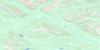
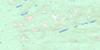
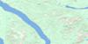
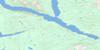
093N10 Germansen Lake Topo Map
To view this map, mouse over the map preview on the right.
You can also download this topo map for free:
093N10 Germansen Lake high-resolution topo map image.
Maps for the Germansen Lake topo map sheet 093N10 at 1:50,000 scale are also available in these versions:
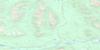
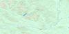
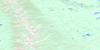
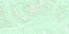
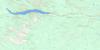
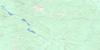
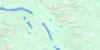
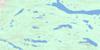
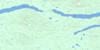
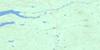
Germansen Lake Surrounding Area Topo Maps
 |
 |
 |
 |
 |
 |
 |
 |
 |
 |
 |
 |
 |
 |
 |
 |
© Department of Natural Resources Canada. All rights reserved.
Germansen Lake Gazetteer
The following places can be found on topographic map sheet 093N10 Germansen Lake:
Germansen Lake Topo Map: Bays
Gebhardt ArmGermansen Lake Topo Map: Channels
Germansen NarrowsGermansen Lake Topo Map: Lakes
Ah Lock LakeAhluk Lake
Germansen Lake
Wassie Lake
Germansen Lake Topo Map: Mountains
Baldy MountainFinlay Ranges
Germansen Range
Hogem Ranges
Mount Germansen
Mount Tinnecha
Omineca Mountains
Plug Hat Mountain
Plughat Mountain
Tinnecha Hill
Wolf Ridge
Germansen Lake Topo Map: Major municipal/district area - major agglomerations
Regional District of Bulkley-NechakoGermansen Lake Topo Map: Rivers
Ah Lock CreekDog Creek
Evans Creek
Germansen River
Gillis Creek
Goodasany Creek
Manson River
Olsen Creek
Paquette Creek
Plughat Creek
Ptarmigan Creek
Similar Creek
Slate Creek
South Germansen River
Valleau Creek
Wassie Creek
West Dog Creek
Wolverine Creek
Germansen Lake Topo Map: Valleys
McCorkell Valley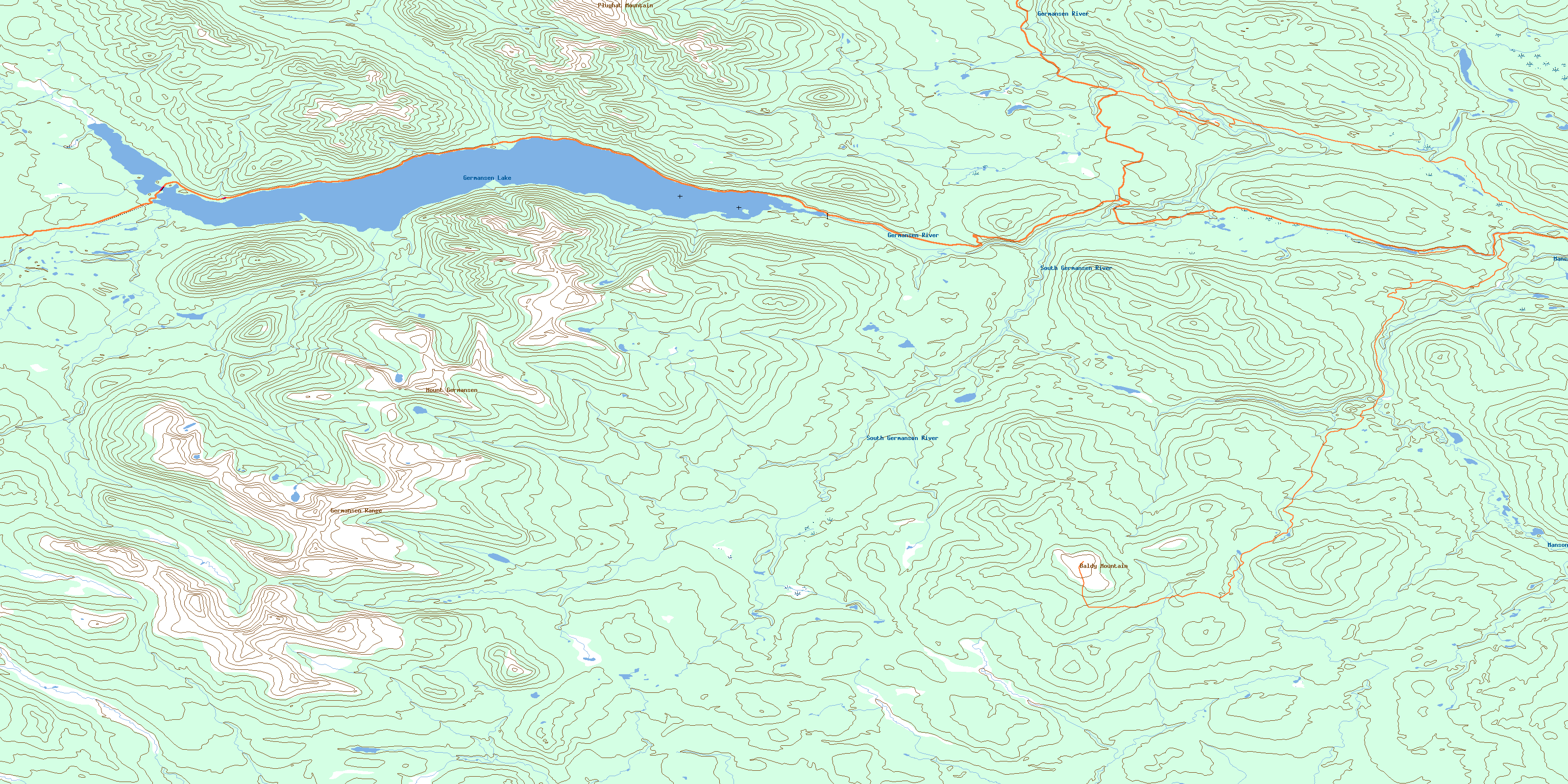
© Department of Natural Resources Canada. All rights reserved.
093N Related Maps:
093N Manson River093N01 Wittsichica Creek
093N02 Chuchi Lake
093N03 Takatoot Lake
093N04 Sakeniche River
093N05 Takla Landing
093N06 Indata Lake
093N07 Klawli Lake
093N08 Sylvester Creek
093N09 Manson Lakes
093N10 Germansen Lake
093N11 Kwanika Creek
093N12 Humphrey Lake
093N13 Ogden Creek
093N14 Discovery Creek
093N15 Germansen Landing
093N16 Moscovite Lakes
