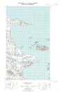
Maps showing Table Hill, Newfoundland and Labrador
Table Hill is a Mountain located in Newfoundland and Labrador.
- Latitude: 53° 46' 0'' North (decimal: 53.7667220)
- Longitude: 57° 11' 56'' West (decimal: -57.1990213)
- Topography Feature Category: Mountain
- Geographical Feature: Hill
- Canadian Province/Territory: Newfoundland and Labrador
- Atlas of Canada Locator Map: Table Hill
- GPS Coordinate Locator Map: Table Hill Lat/Long
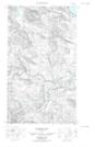
Table Hill NTS Map Sheets