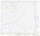
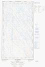
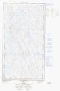
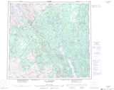
Maps showing Ruisseau Bow, Rivière-Koksoak; Kativik, Quebec
Ruisseau Bow is a River located in Rivière-Koksoak; Kativik, Quebec.
- Latitude: 57° 41' 14'' North (decimal: 57.6871100)
- Longitude: 69° 35' 53'' West (decimal: -69.5979450)
- Topography Feature Category: River
- Geographical Feature: Ruisseau
- Canadian Province/Territory: Quebec
- Location: Rivière-Koksoak; Kativik
- GPS Coordinate Locator Map: Ruisseau Bow Lat/Long
Ruisseau Bow NTS Map Sheets