Maps showing Rivière Buron, Rivière-Koksoak; Kativik, Quebec
Rivière Buron is a River located in Rivière-Koksoak; Kativik, Quebec and has an elevation of 12 meters.
- Latitude: 58° 57' 22'' North (decimal: 58.9560209)
- Longitude: 69° 53' 39'' West (decimal: -69.8942699)
- Topography Feature Category: River
- Geographical Feature: Rivière
- Canadian Province/Territory: Quebec
- Elevation: 12 meters
- Location: Rivière-Koksoak; Kativik
- Atlas of Canada Locator Map: Rivière Buron
- GPS Coordinate Locator Map: Rivière Buron Lat/Long
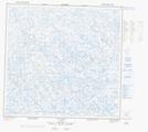
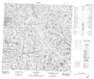
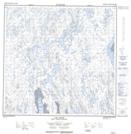
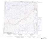
Rivière Buron NTS Map Sheets
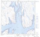
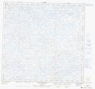
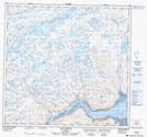
024K13 Lac Lucille Topographic Map at 1:50,000 scale
024L15 Lac Guenyveau Topographic Map at 1:50,000 scale
024L16 Lac Fanfan Topographic Map at 1:50,000 scale
024M01 Lac Ford Topographic Map at 1:50,000 scale
024M02 Lac Pajot Topographic Map at 1:50,000 scale
024M03 Lac Clovis Topographic Map at 1:50,000 scale
024N04 Lac Voltz Topographic Map at 1:50,000 scale
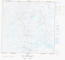
024K Kuujjuaq Topographic Map at 1:250,000 scale
024L Lac Dufreboy Topographic Map at 1:250,000 scale
024M Lac Peters Topographic Map at 1:250,000 scale
024N Hopes Advance Bay Topographic Map at 1:250,000 scale