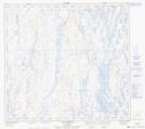
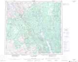
Maps showing Lac Garreau, Rivière-Koksoak; Kativik, Quebec
Lac Garreau is a Lake located in Rivière-Koksoak; Kativik, Quebec.
- Latitude: 57° 40' 26'' North (decimal: 57.6737575)
- Longitude: 68° 16' 58'' West (decimal: -68.2828892)
- Topography Feature Category: Lake
- Geographical Feature: Lac
- Canadian Province/Territory: Quebec
- Location: Rivière-Koksoak; Kativik
- Atlas of Canada Locator Map: Lac Garreau
- GPS Coordinate Locator Map: Lac Garreau Lat/Long
Lac Garreau NTS Map Sheets