Canada Topographic Maps

Rivière Nastapoca Topo Maps

Topography maps and Latitude/Longitude Location

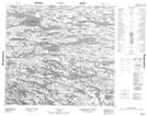
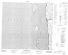
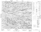
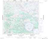
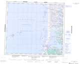
Maps showing Rivière Nastapoca, Baie-d'Hudson; Kativik, Quebec

Rivière Nastapoca is a River located in Baie-d'Hudson; Kativik, Quebec.

  • Latitude: 56° 54' 38'' North   (decimal: 56.9104619)
  • Longitude: 76° 32' 46'' West   (decimal: -76.5460931)
  • Topography Feature Category: River
  • Geographical Feature: Rivière
  • Canadian Province/Territory: Quebec
  • Location: Baie-d'Hudson; Kativik
  • GPS Coordinate Locator Map: Rivière Nastapoca Lat/Long

Rivière Nastapoca NTS Map Sheets

034B08 Topographic Map at 1:50,000 scale

034B09 Topographic Map at 1:50,000 scale

034B10 Topographic Map at 1:50,000 scale

034B11 Topographic Map at 1:50,000 scale

034B13 Topographic Map at 1:50,000 scale

034C15 Gordon Island Topographic Map at 1:50,000 scale

034C16 Riviere Itilliq Topographic Map at 1:50,000 scale

034B Lac A L'Eau Claire Topographic Map at 1:250,000 scale

034C Lac Guillaume-Delisle Topographic Map at 1:250,000 scale

 
Buy Topographic Maps DVD
Newsletter Sign-up

Yes, I want to receive map store discounts.


Bookmark and Share