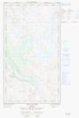
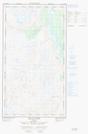
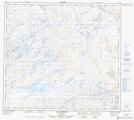
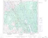
Maps showing Rivière Andréas, Rivière-Koksoak; Kativik, Quebec
Rivière Andréas is a River located in Rivière-Koksoak; Kativik, Quebec.
- Latitude: 57° 10' 45'' North (decimal: 57.1790352)
- Longitude: 69° 18' 30'' West (decimal: -69.3082320)
- Topography Feature Category: River
- Geographical Feature: Rivière
- Canadian Province/Territory: Quebec
- Location: Rivière-Koksoak; Kativik
- Atlas of Canada Locator Map: Rivière Andréas
- GPS Coordinate Locator Map: Rivière Andréas Lat/Long
Rivière Andréas NTS Map Sheets