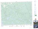
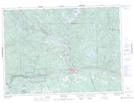
Maps showing Burritt's Creek, Nipissing, Ontario
Burritt's Creek is a River located in Nipissing, Ontario and has an elevation of 163 meters.
- Latitude: 46° 18' 46'' North (decimal: 46.3127777)
- Longitude: 78° 34' 37'' West (decimal: -78.5769444)
- Topography Feature Category: River
- Geographical Feature: Creek
- Canadian Province/Territory: Ontario
- Elevation: 163 meters
- Location: Nipissing
- Atlas of Canada Locator Map: Burritt's Creek
- GPS Coordinate Locator Map: Burritt's Creek Lat/Long
Burritt's Creek NTS Map Sheets