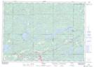
Maps showing Sutherland Creek, Ontario
Sutherland Creek is a River located in Ontario.
- Latitude: 46° 22' 30'' North (decimal: 46.3749999)
- Longitude: 81° 48' 30'' West (decimal: -81.8083333)
- Topography Feature Category: River
- Geographical Feature: Creek
- Canadian Province/Territory: Ontario
- Atlas of Canada Locator Map: Sutherland Creek
- GPS Coordinate Locator Map: Sutherland Creek Lat/Long