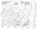
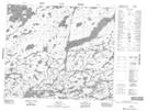
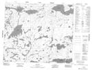
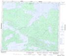
Maps showing Beaver Hill Lake, Manitoba
Beaver Hill Lake is a Lake located in Manitoba and has an elevation of 210 meters.
- Latitude: 54° 15' 8'' North (decimal: 54.2521999)
- Longitude: 94° 53' 36'' West (decimal: -94.8932999)
- Topography Feature Category: Lake
- Geographical Feature: Lake
- Canadian Province/Territory: Manitoba
- Elevation: 210 meters
- Atlas of Canada Locator Map: Beaver Hill Lake
- GPS Coordinate Locator Map: Beaver Hill Lake Lat/Long
Beaver Hill Lake NTS Map Sheets