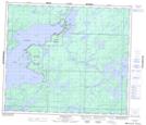
Maps showing Birch Island, Manitoba
Birch Island is a Island located in Manitoba.
- Latitude: 54° 55' 47'' North (decimal: 54.9297000)
- Longitude: 95° 23' 9'' West (decimal: -95.3858000)
- Topography Feature Category: Island
- Geographical Feature: Island
- Canadian Province/Territory: Manitoba
- Atlas of Canada Locator Map: Birch Island
- GPS Coordinate Locator Map: Birch Island Lat/Long
Birch Island NTS Map Sheets