Canada Topographic Maps

Red Deer Point Game Bird Refuge Topo Maps

Topography maps and Latitude/Longitude Location

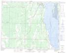
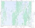
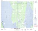
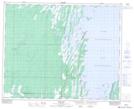
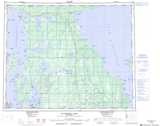
Maps showing Red Deer Point Game Bird Refuge, 34,35-18,19-W, Manitoba

Red Deer Point Game Bird Refuge is a Conservation area located in 34,35-18,19-W, Manitoba and has an elevation of 252 meters.

  • Latitude: 51° 58' 0'' North   (decimal: 51.9667000)
  • Longitude: 99° 59' 48'' West   (decimal: -99.9967000)
  • Topography Feature Category: Conservation area
  • Geographical Feature: Refuge
  • Canadian Province/Territory: Manitoba
  • Elevation: 252 meters
  • Location: 34,35-18,19-W
  • Atlas of Canada Locator Map: Red Deer Point Game Bird Refuge
  • GPS Coordinate Locator Map: Red Deer Point Game Bird Refuge Lat/Long

Red Deer Point Game Bird Refuge NTS Map Sheets

062N16 Sagemace Bay Topographic Map at 1:50,000 scale

062O13 Skownan Topographic Map at 1:50,000 scale

063B04 Chisaki Lake Topographic Map at 1:50,000 scale

063C01 Duck Bay Topographic Map at 1:50,000 scale

062N Duck Mountain Topographic Map at 1:250,000 scale

062O Dauphin Lake Topographic Map at 1:250,000 scale

063B Waterhen Lake Topographic Map at 1:250,000 scale

063C Swan Lake Topographic Map at 1:250,000 scale

 
Buy Topographic Maps DVD
Newsletter Sign-up

Yes, I want to receive map store discounts.


Bookmark and Share