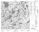
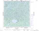
Maps showing Stork Island, Saskatchewan
Stork Island is a Island located in Saskatchewan and has an elevation of 355 meters.
- Latitude: 59° 35' North (decimal: 59.5835121)
- Longitude: 104° 25' West (decimal: -104.4172758)
- Topography Feature Category: Island
- Geographical Feature: Island
- Canadian Province/Territory: Saskatchewan
- Elevation: 355 meters
- Atlas of Canada Locator Map: Stork Island
- GPS Coordinate Locator Map: Stork Island Lat/Long
Stork Island NTS Map Sheets