Maps showing Fond du Lac River, Saskatchewan
Fond du Lac River is a River located in Saskatchewan and has an elevation of 234 meters.
- Latitude: 59° 17' North (decimal: 59.2836896)
- Longitude: 106° 0' West (decimal: -106.0009425)
- Topography Feature Category: River
- Geographical Feature: River
- Canadian Province/Territory: Saskatchewan
- Elevation: 234 meters
- Atlas of Canada Locator Map: Fond du Lac River
- GPS Coordinate Locator Map: Fond du Lac River Lat/Long
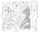
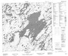
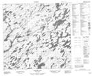
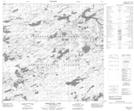
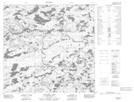
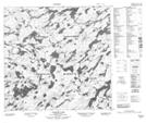
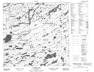
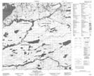
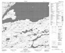
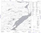
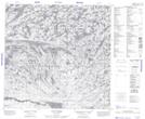
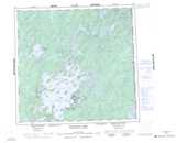
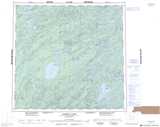
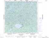
Fond du Lac River NTS Map Sheets
064L05 Cunning Bay Topographic Map at 1:50,000 scale
064L12 Hatchet Lake Topographic Map at 1:50,000 scale
064L13 Babiche Lake Topographic Map at 1:50,000 scale
074I14 Umfreville Lake Topographic Map at 1:50,000 scale
074I15 Pattyson Lake Topographic Map at 1:50,000 scale
074I16 Kosdaw Lake Topographic Map at 1:50,000 scale
074O08 Wiley Lake Topographic Map at 1:50,000 scale
074P01 Cyprian Lake Topographic Map at 1:50,000 scale
074P02 Perching Lake Topographic Map at 1:50,000 scale
074P03 Fir Island Topographic Map at 1:50,000 scale
074P04 Elizabeth Falls Topographic Map at 1:50,000 scale
074P05 Clut Lakes Topographic Map at 1:50,000 scale
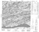
064L Wollaston Lake Topographic Map at 1:250,000 scale
074I Pasfield Lake Topographic Map at 1:250,000 scale
074O Fond-Du-Lac Topographic Map at 1:250,000 scale
074P Stony Rapids Topographic Map at 1:250,000 scale