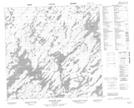
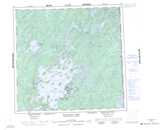
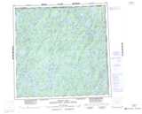
Maps showing Bell Creek, Saskatchewan
Bell Creek is a River located in Saskatchewan and has an elevation of 389 meters.
- Latitude: 58° 58' North (decimal: 58.9668343)
- Longitude: 102° 35' West (decimal: -102.5838033)
- Topography Feature Category: River
- Geographical Feature: Creek
- Canadian Province/Territory: Saskatchewan
- Elevation: 389 meters
- Atlas of Canada Locator Map: Bell Creek
- GPS Coordinate Locator Map: Bell Creek Lat/Long
Bell Creek NTS Map Sheets