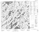
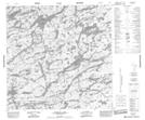
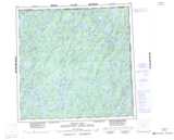
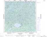
Maps showing McIntyre River, Saskatchewan
McIntyre River is a River located in Saskatchewan and has an elevation of 400 meters.
- Latitude: 59° 19' North (decimal: 59.3168253)
- Longitude: 104° 9' West (decimal: -104.1505898)
- Topography Feature Category: River
- Geographical Feature: River
- Canadian Province/Territory: Saskatchewan
- Elevation: 400 meters
- Atlas of Canada Locator Map: McIntyre River
- GPS Coordinate Locator Map: McIntyre River Lat/Long
McIntyre River NTS Map Sheets