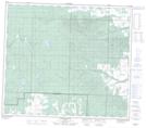
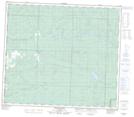
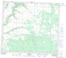
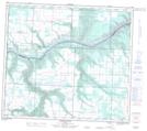
Maps showing Pouce Coupé River, 26-82-13-W6, Alberta
Pouce Coupé River is a River located in 26-82-13-W6, Alberta and has an elevation of 676 meters.
- Latitude: 56° 7' 54'' North (decimal: 56.1316666)
- Longitude: 119° 54' 39'' West (decimal: -119.9108333)
- Topography Feature Category: River
- Geographical Feature: River
- Canadian Province/Territory: Alberta
- Elevation: 676 meters
- Location: 26-82-13-W6
- Atlas of Canada Locator Map: Pouce Coupé River
- GPS Coordinate Locator Map: Pouce Coupé River Lat/Long
Pouce Coupé River NTS Map Sheets