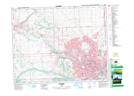
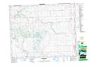
Maps showing Beddington Creek, Alberta
Beddington Creek is a River located in Alberta and has an elevation of 1177 meters.
- Latitude: 51° 8' North (decimal: 51.1333000)
- Longitude: 114° 2' West (decimal: -114.0332999)
- Topography Feature Category: River
- Geographical Feature: Creek
- Canadian Province/Territory: Alberta
- Elevation: 1177 meters
- GPS Coordinate Locator Map: Beddington Creek Lat/Long
Beddington Creek NTS Map Sheets