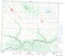
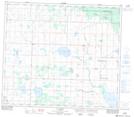
Maps showing Fish Creek, 2-73-8-W6, Alberta
Fish Creek is a River located in 2-73-8-W6, Alberta.
- Latitude: 55° 18' 00'' North (decimal: 55.2999999)
- Longitude: 119° 6' 28'' West (decimal: -119.1077777)
- Topography Feature Category: River
- Geographical Feature: Creek
- Canadian Province/Territory: Alberta
- Location: 2-73-8-W6
- Atlas of Canada Locator Map: Fish Creek
- GPS Coordinate Locator Map: Fish Creek Lat/Long
Fish Creek NTS Map Sheets