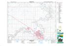
Maps showing County of Forty Mile No. 8, 6-9-W4, Alberta
County of Forty Mile No. 8 is a Major municipal/district area - major agglomeration located in 6-9-W4, Alberta.
- Latitude: 49° 31' 25'' North (decimal: 49.5236110)
- Longitude: 111° 10' 17'' West (decimal: -111.1713889)
- Topography Feature Category: Major municipal/district area - major agglomeration
- Geographical Feature: Municipal District
- Canadian Province/Territory: Alberta
- Location: 6-9-W4
- Atlas of Canada Locator Map: County of Forty Mile No. 8
- GPS Coordinate Locator Map: County of Forty Mile No. 8 Lat/Long
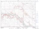
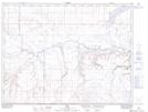
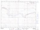
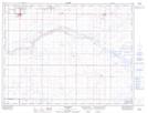
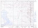
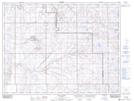
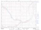
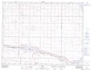
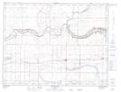
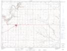
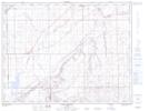
County of Forty Mile No. 8 NTS Map Sheets
072E02 Calib Coulee Topographic Map at 1:50,000 scale
072E03 Aden Topographic Map at 1:50,000 scale
072E05 Legend Topographic Map at 1:50,000 scale
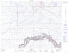
072E06 Foremost Topographic Map at 1:50,000 scale
072E07 Manyberries Topographic Map at 1:50,000 scale
072E10 Bulls Head Topographic Map at 1:50,000 scale
072E11 Maleb Topographic Map at 1:50,000 scale
072E12 Skiff Topographic Map at 1:50,000 scale
072E13 Grassy Lake Topographic Map at 1:50,000 scale
072E14 Bow Island Topographic Map at 1:50,000 scale
072E15 Seven Persons Topographic Map at 1:50,000 scale
072L02 Medicine Hat Topographic Map at 1:50,000 scale
072L03 Suffield Topographic Map at 1:50,000 scale
072E Foremost Topographic Map at 1:250,000 scale
072L Medicine Hat Topographic Map at 1:250,000 scale