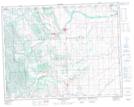
Maps showing Macabee Creek, 29-19-3-W5, Alberta
Macabee Creek is a River located in 29-19-3-W5, Alberta and has an elevation of 1516 meters.
- Latitude: 50° 38' 23'' North (decimal: 50.6397221)
- Longitude: 114° 22' 45'' West (decimal: -114.3791667)
- Topography Feature Category: River
- Geographical Feature: Creek
- Canadian Province/Territory: Alberta
- Elevation: 1516 meters
- Location: 29-19-3-W5
- Atlas of Canada Locator Map: Macabee Creek
- GPS Coordinate Locator Map: Macabee Creek Lat/Long
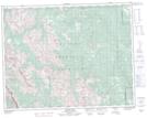
Macabee Creek NTS Map Sheets