Canada Topographic Maps

Willow Creek Topo Maps

Topography maps and Latitude/Longitude Location

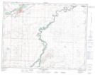
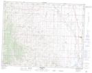
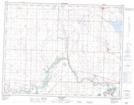
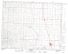
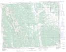
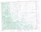
Maps showing Willow Creek, 9-25-W4, Alberta

Willow Creek is a River located in 9-25-W4, Alberta and has an elevation of 1001 meters.

  • Latitude: 49° 46' 13'' North   (decimal: 49.7702777)
  • Longitude: 113° 21' 2'' West   (decimal: -113.3505555)
  • Topography Feature Category: River
  • Geographical Feature: Creek
  • Canadian Province/Territory: Alberta
  • Elevation: 1001 meters
  • Location: 9-25-W4
  • Atlas of Canada Locator Map: Willow Creek
  • GPS Coordinate Locator Map: Willow Creek Lat/Long

Willow Creek NTS Map Sheets

082H11 Fort Macleod Topographic Map at 1:50,000 scale

082H13 Granum Topographic Map at 1:50,000 scale

082H14 Monarch Topographic Map at 1:50,000 scale

082I04 Claresholm Topographic Map at 1:50,000 scale

082J01 Langford Creek Topographic Map at 1:50,000 scale

082J08 Stimson Creek Topographic Map at 1:50,000 scale

082H Lethbridge Topographic Map at 1:250,000 scale

082I Gleichen Topographic Map at 1:250,000 scale

082J Kananaskis Lakes Topographic Map at 1:250,000 scale

 
Buy Topographic Maps DVD
Newsletter Sign-up

Yes, I want to receive map store discounts.


Bookmark and Share